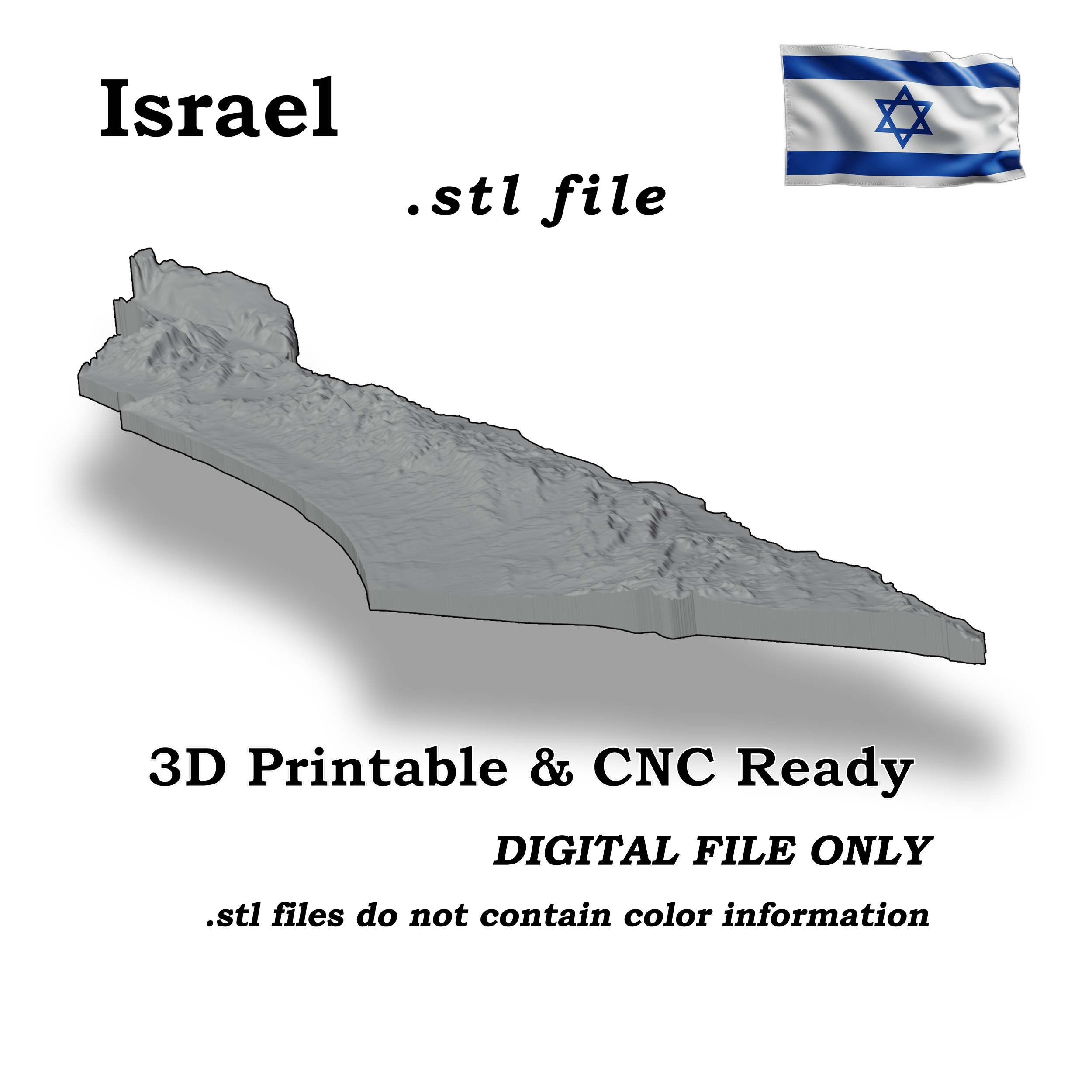
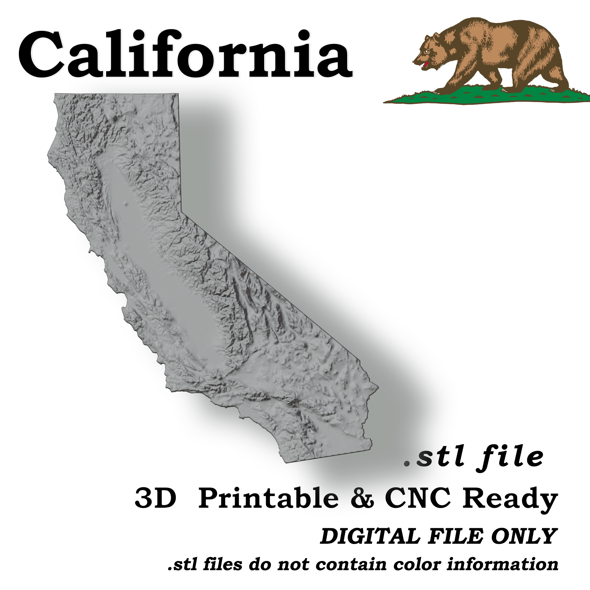
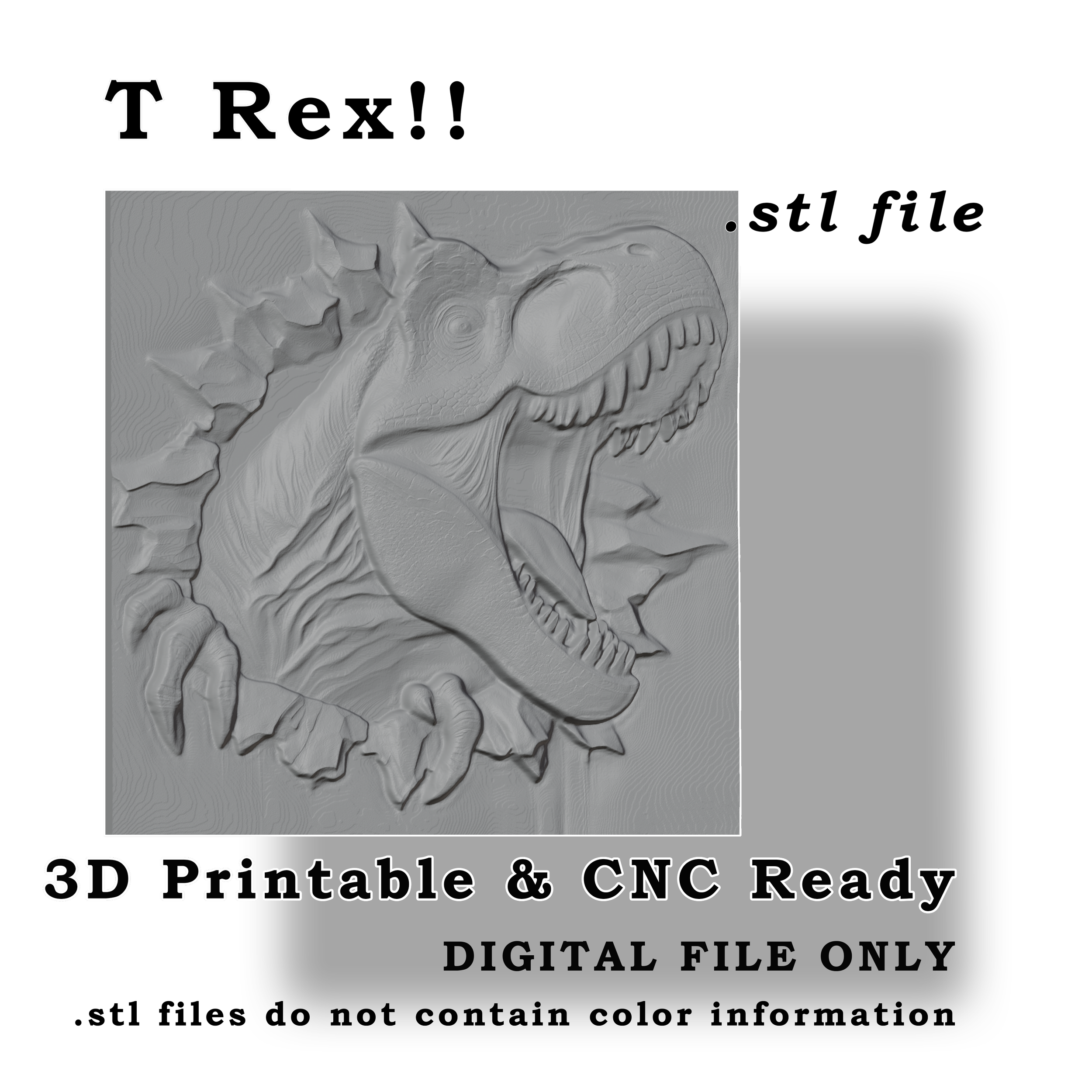
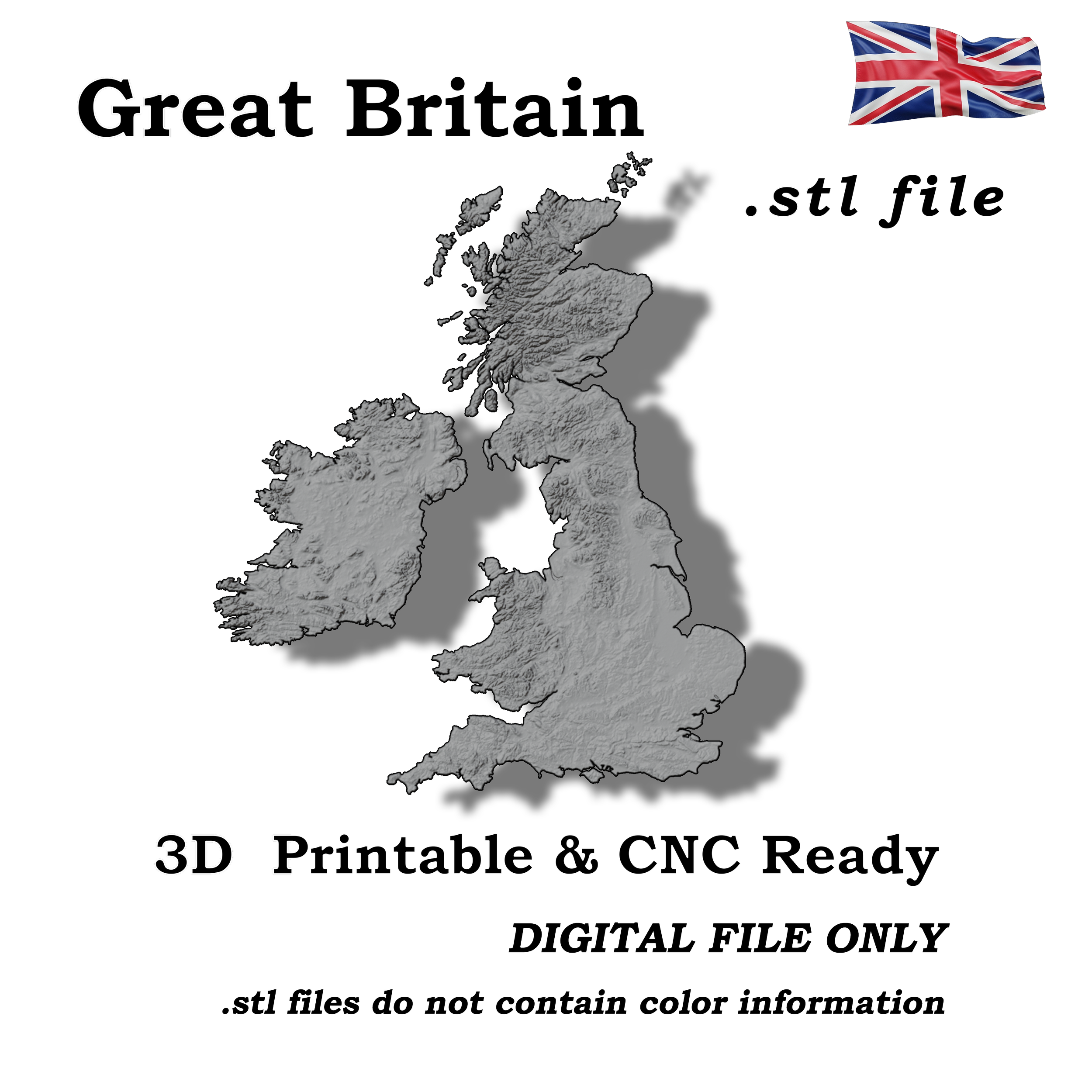
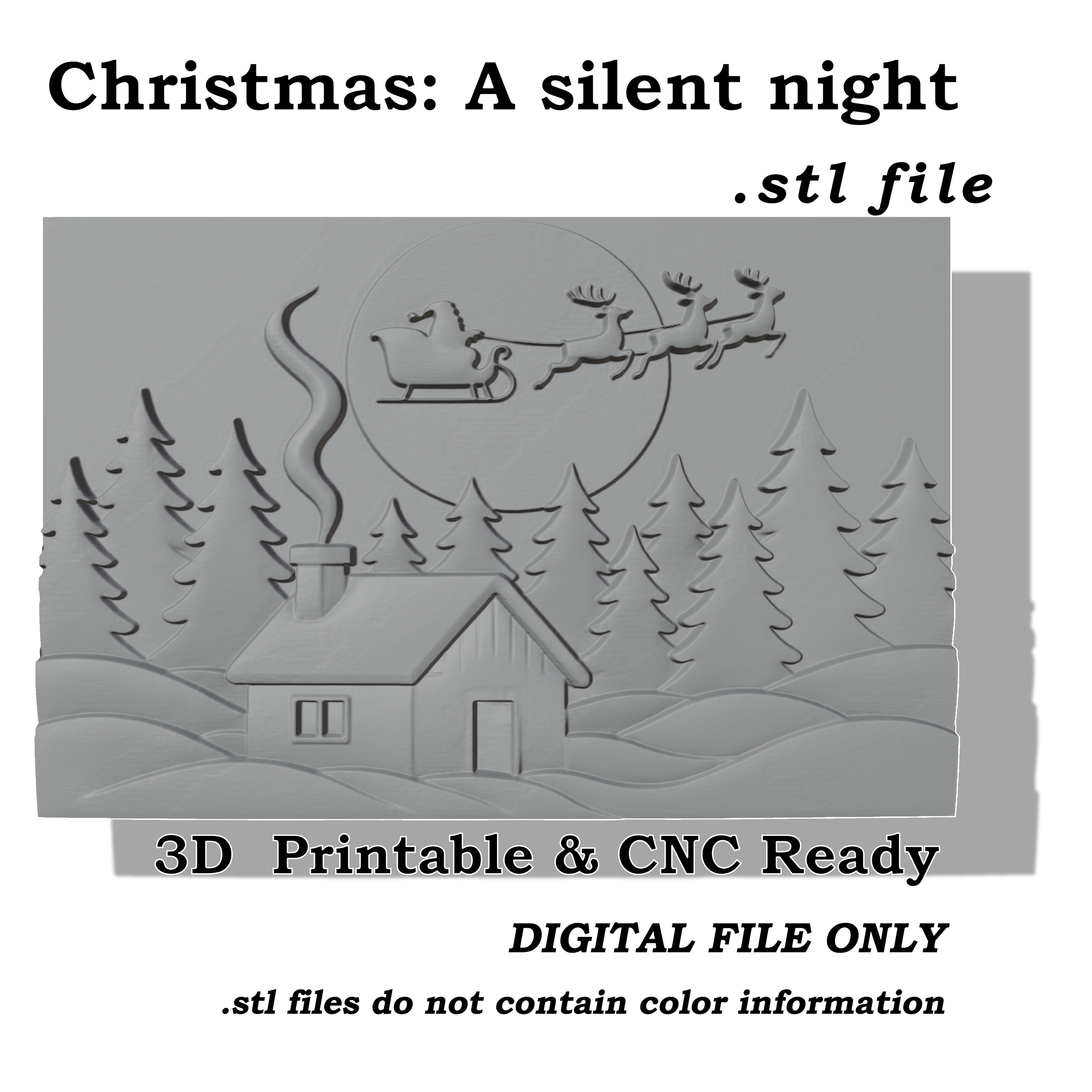
 Image 1 of 5
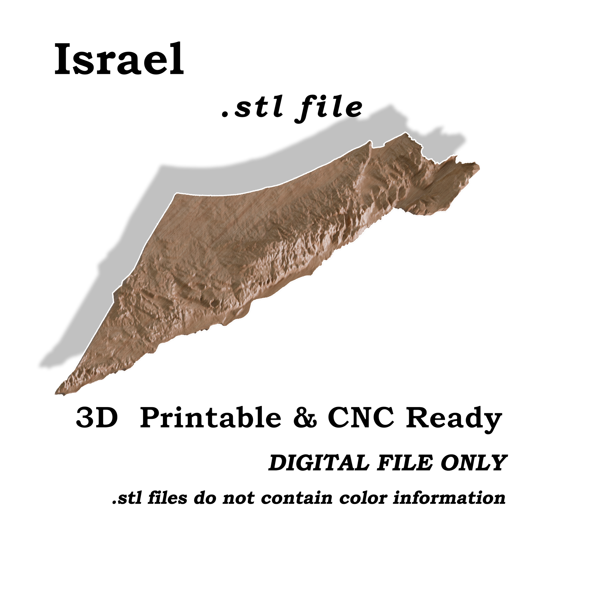
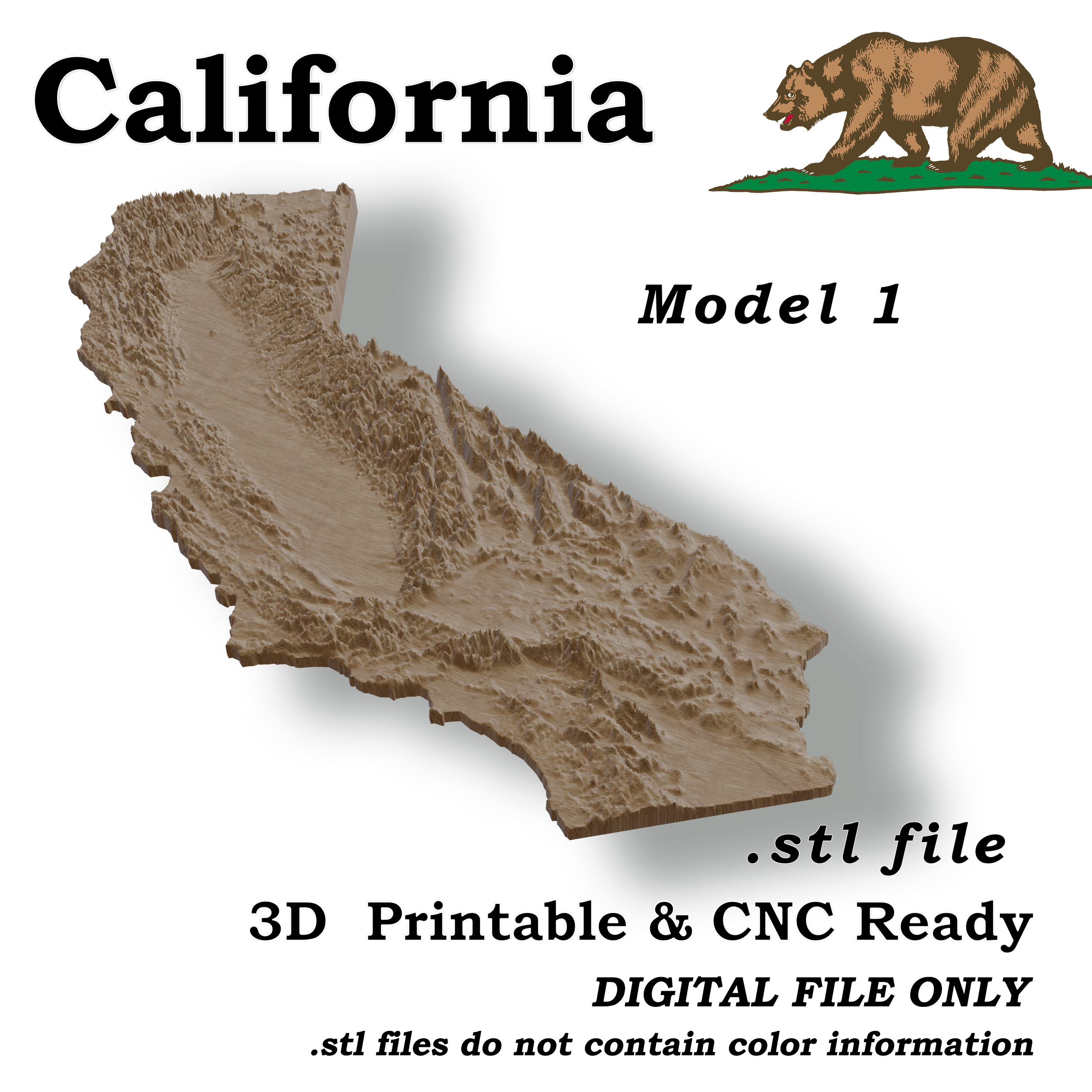
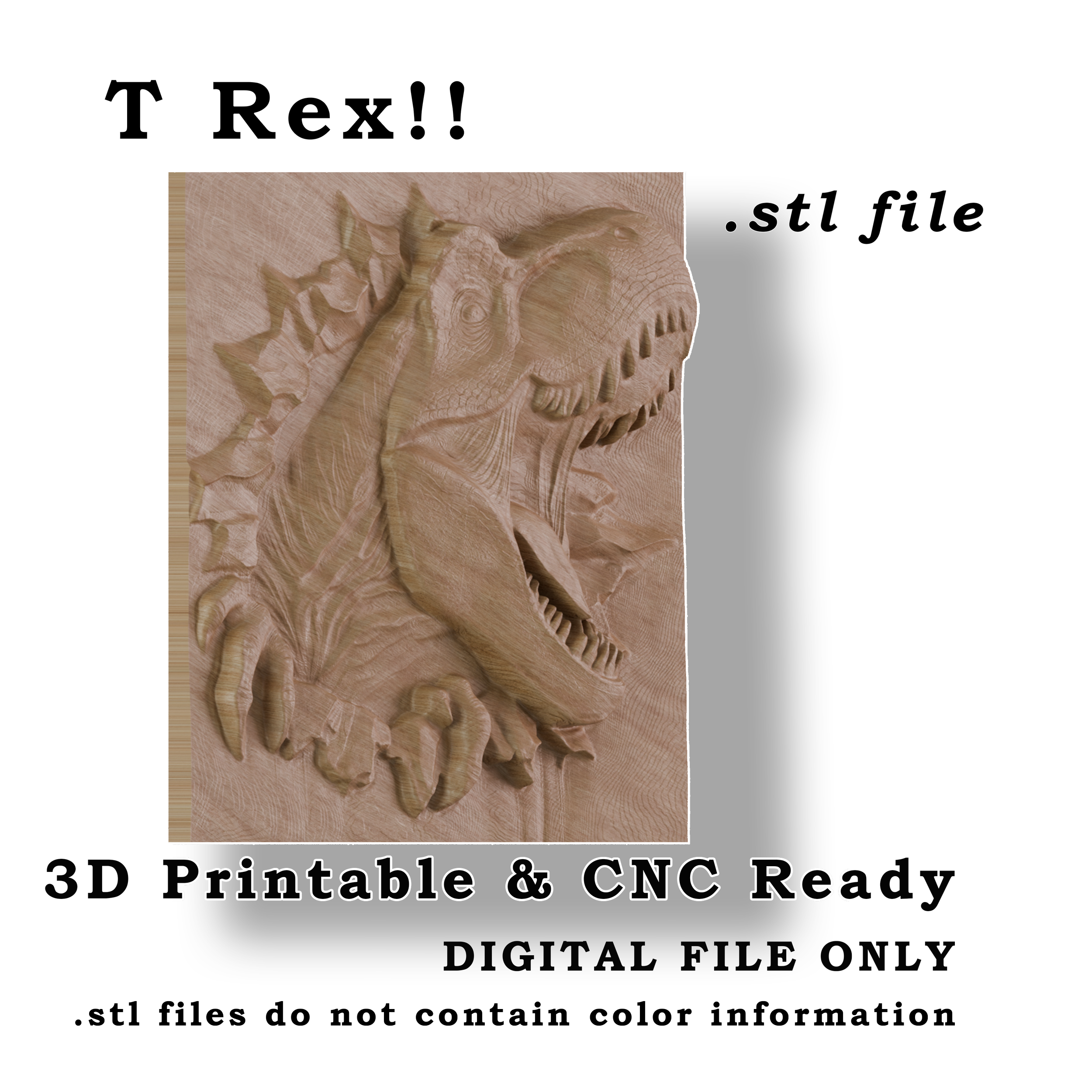
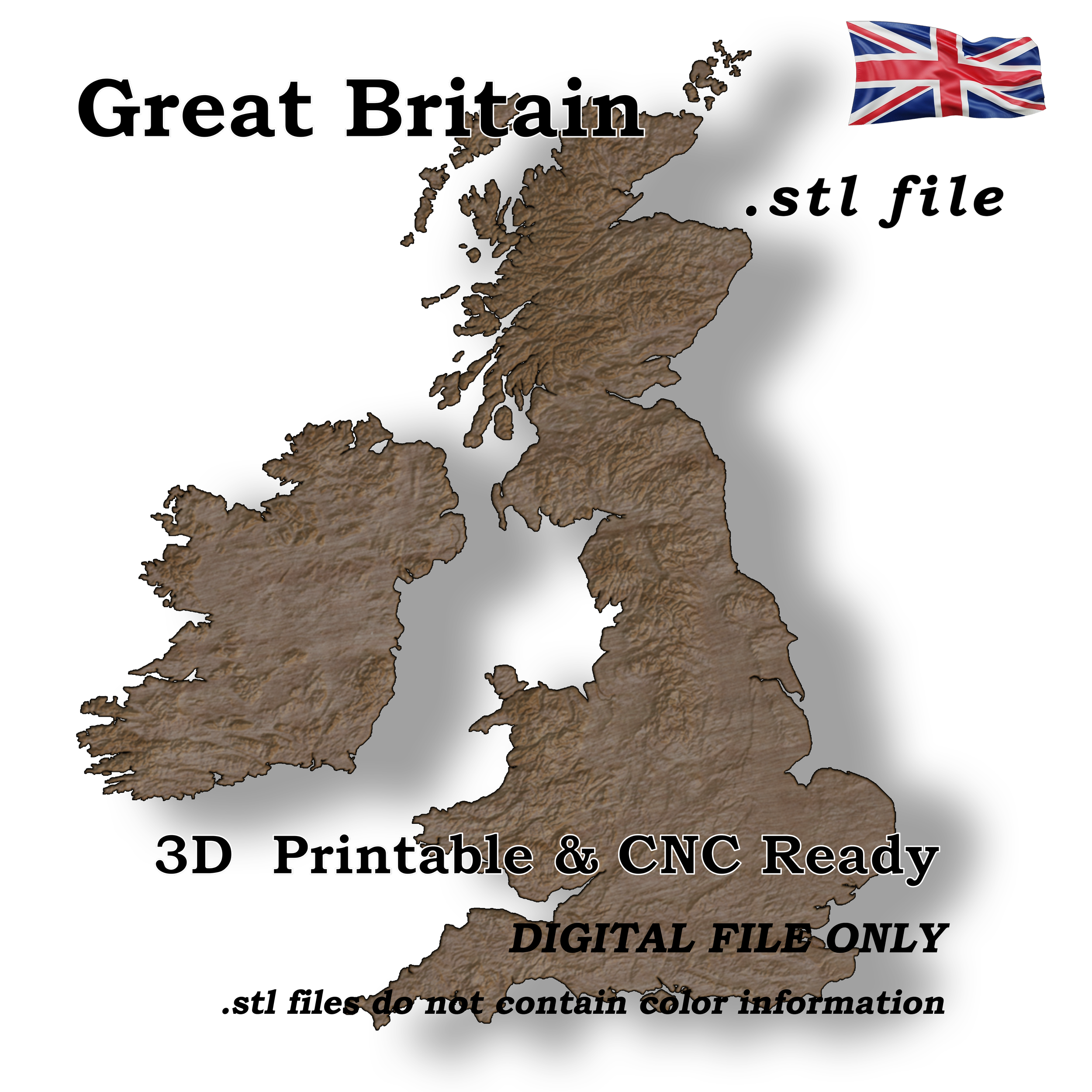
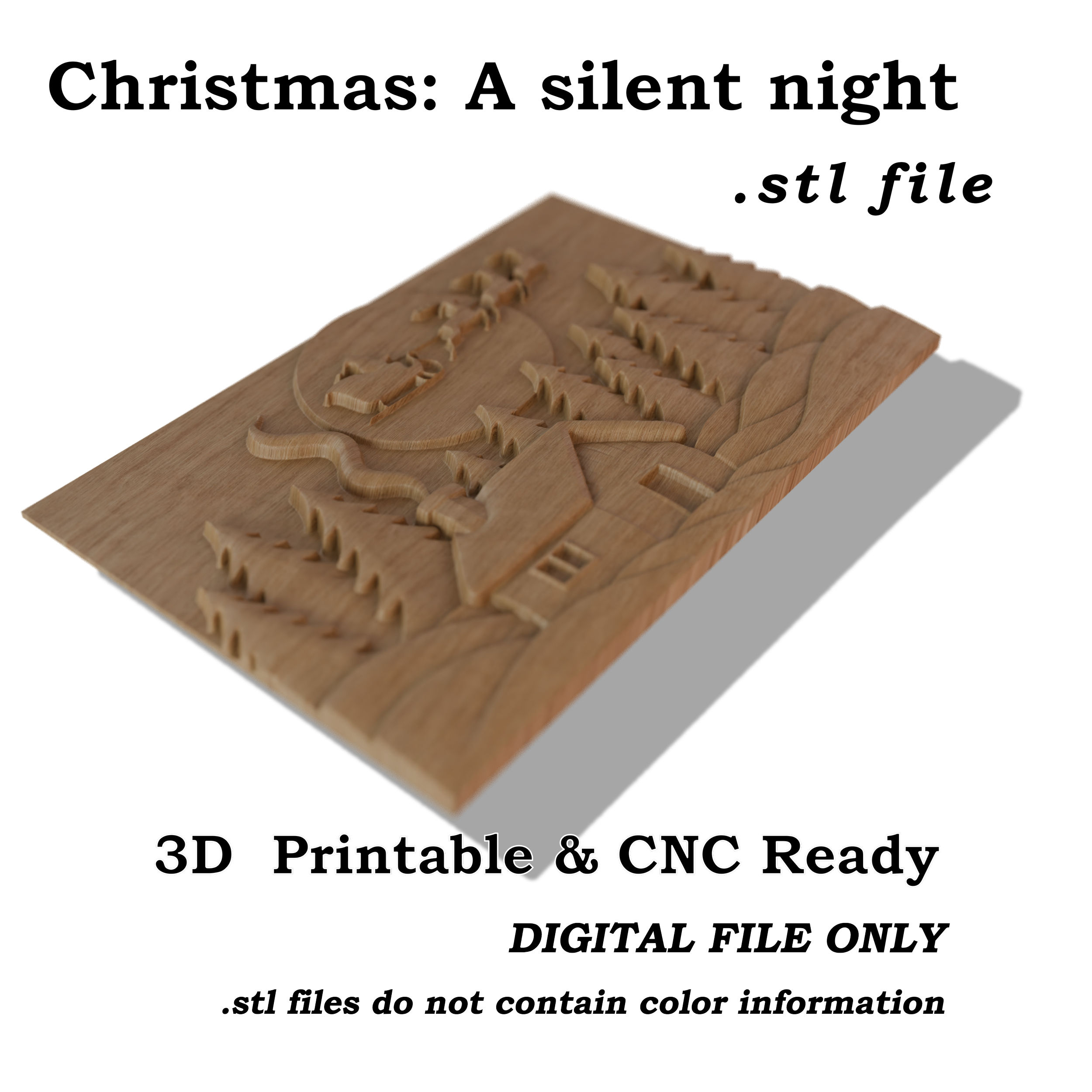
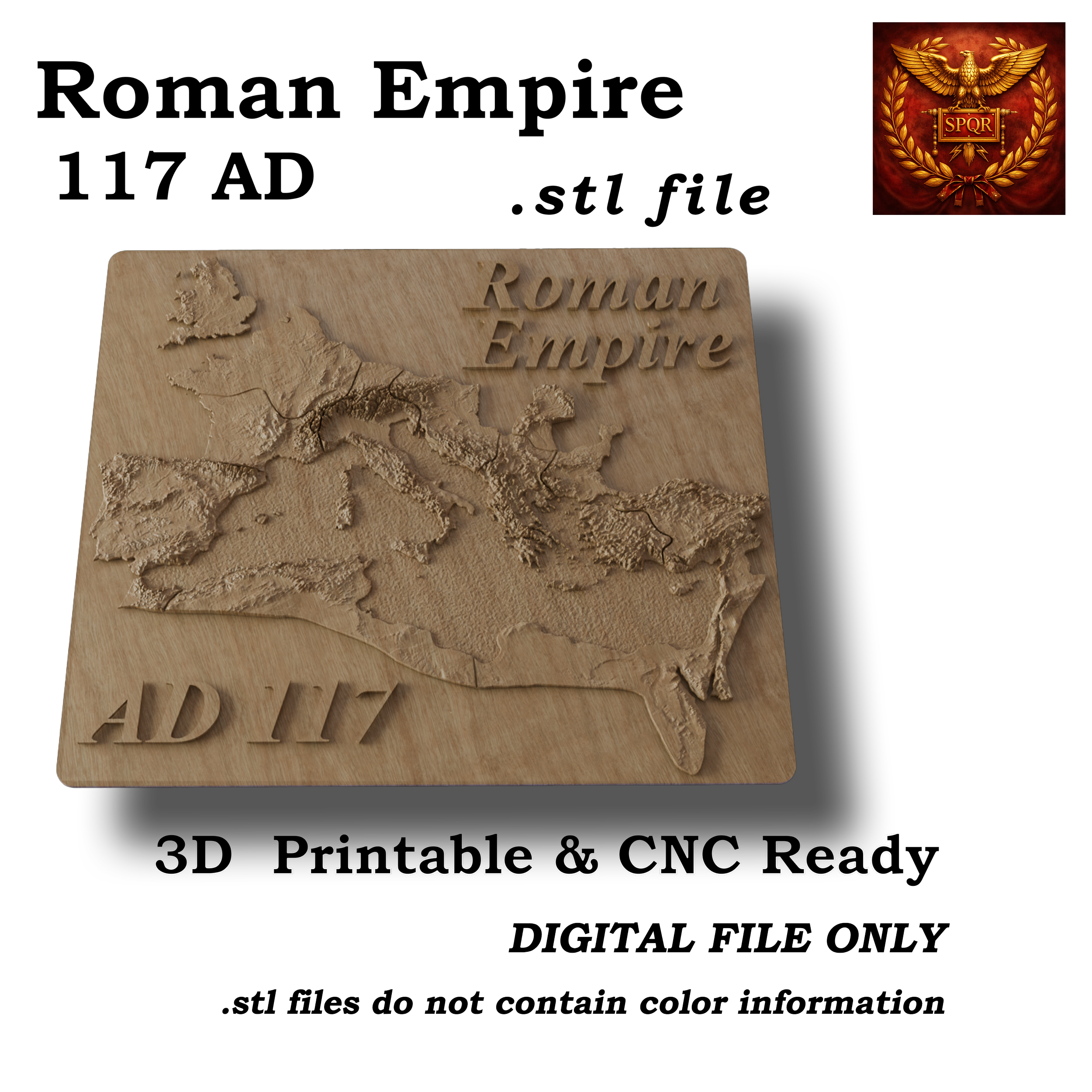 Image 2 of 5
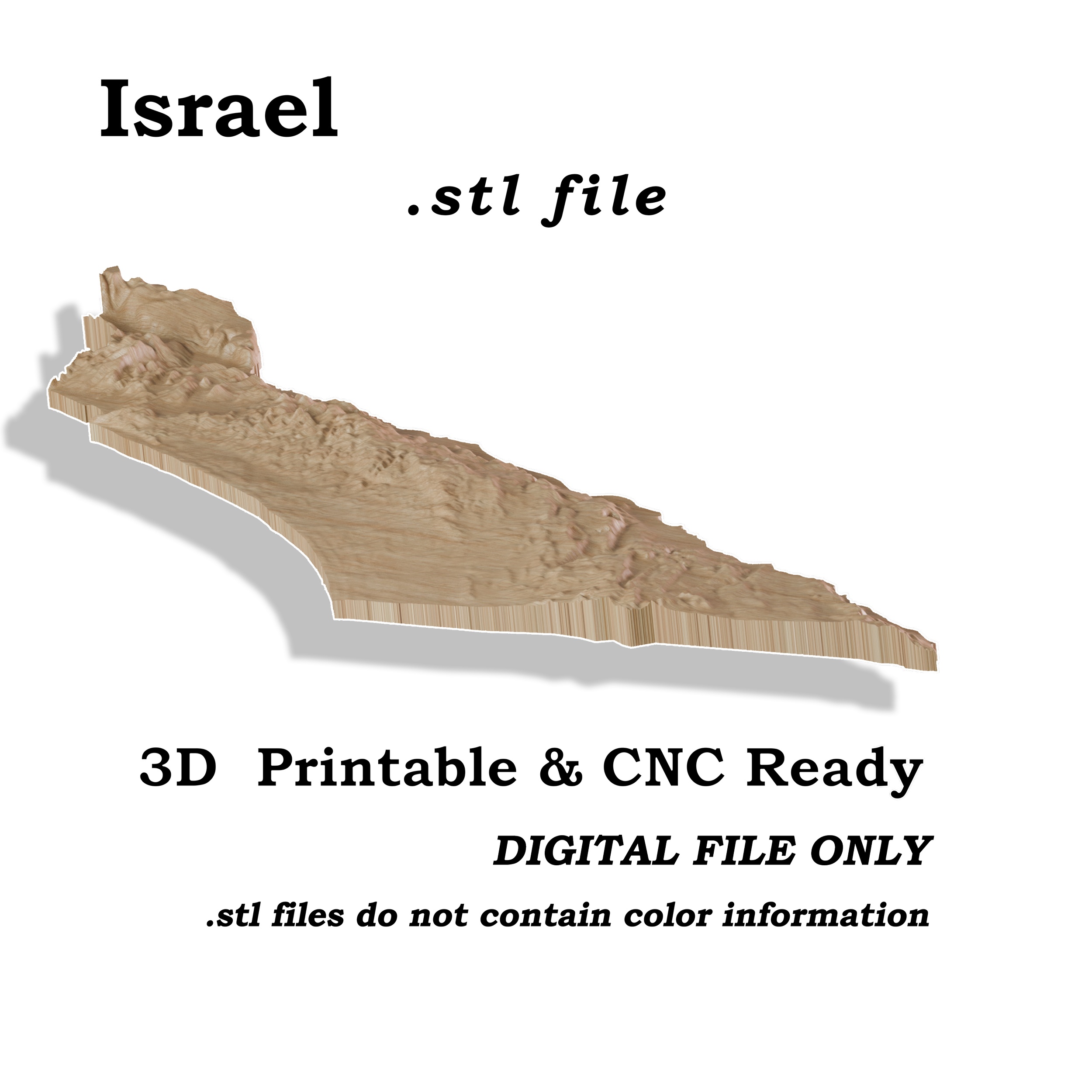
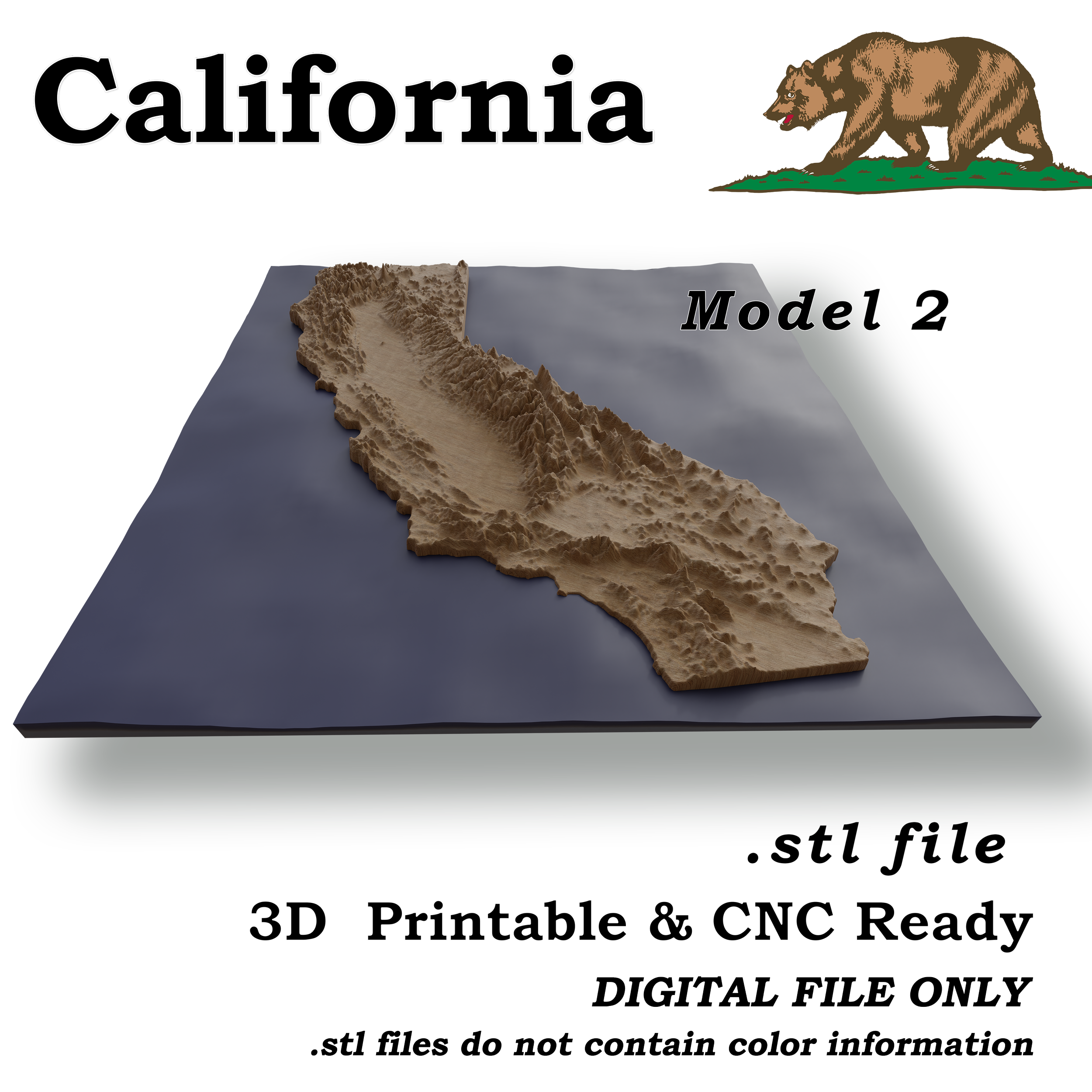
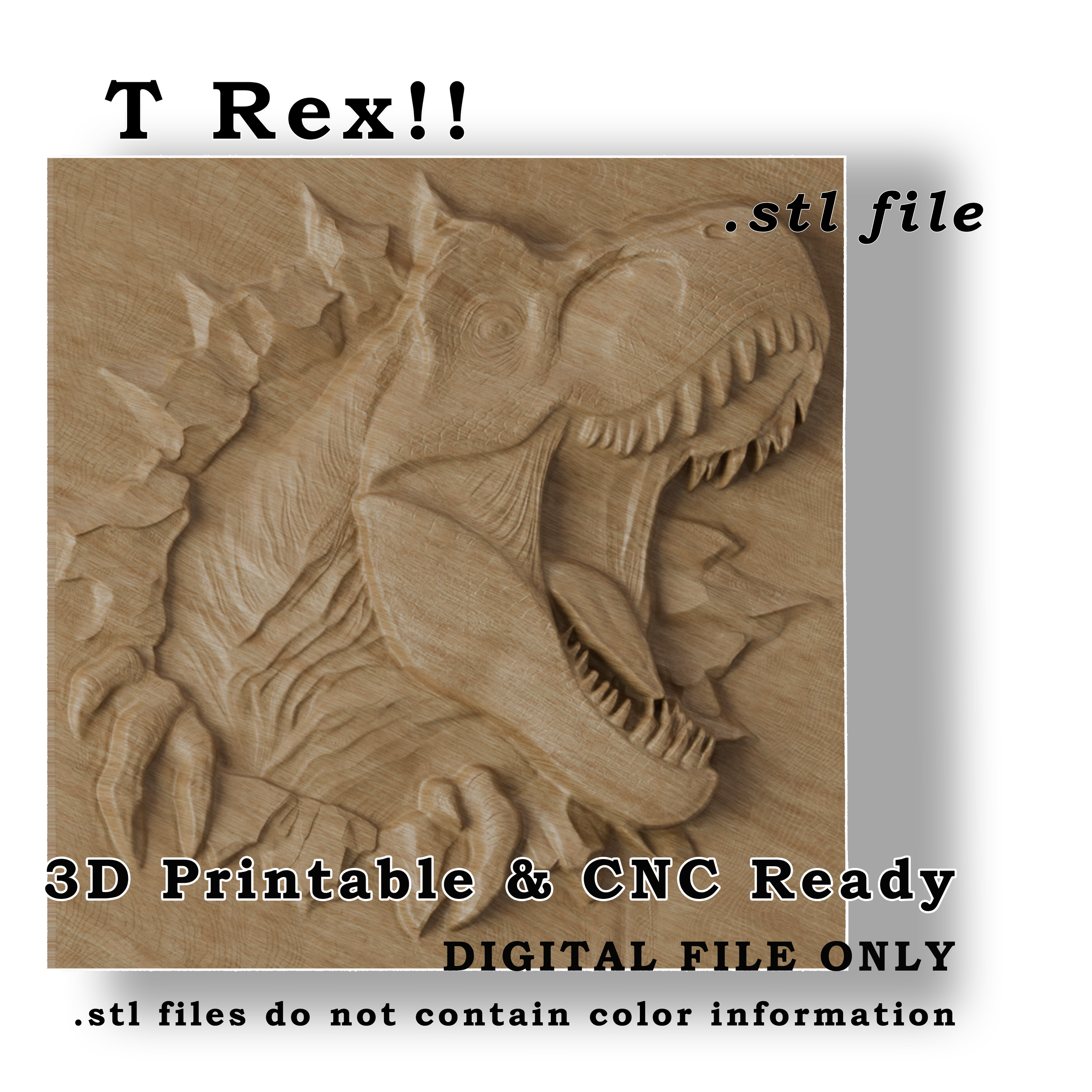
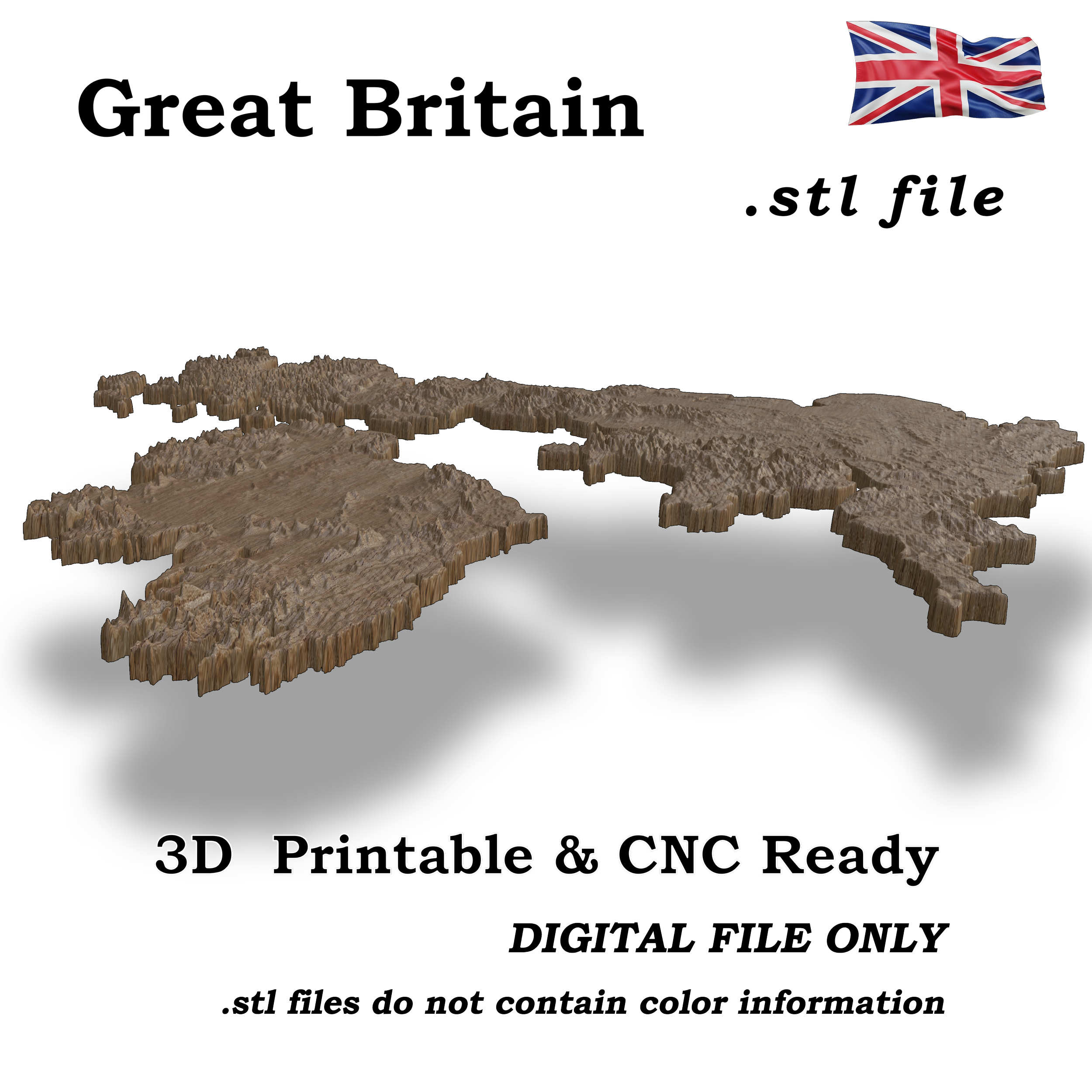
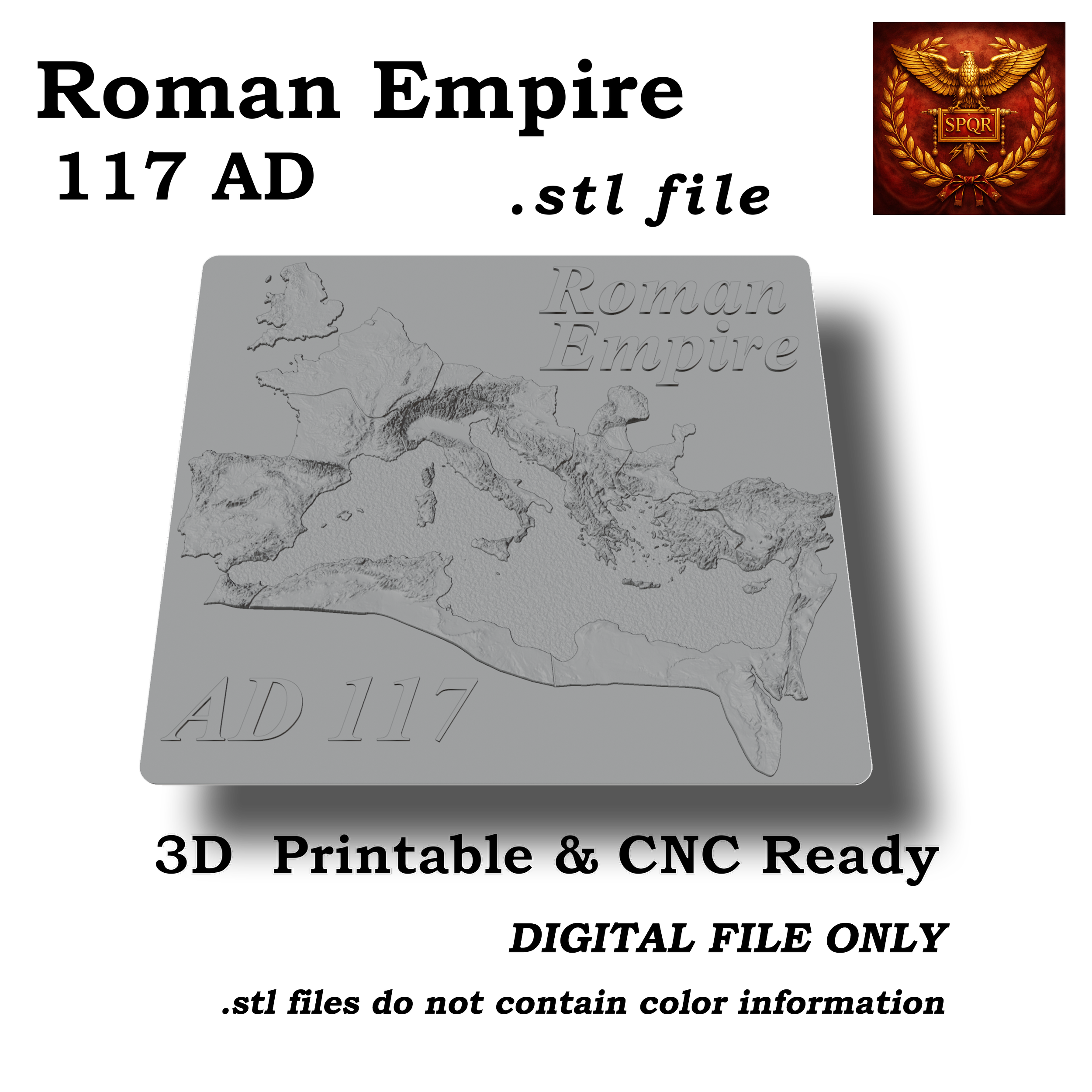
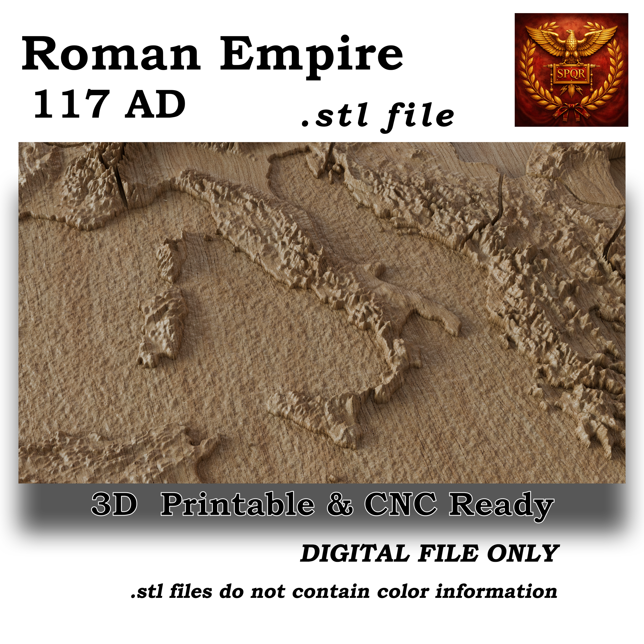 Image 3 of 5
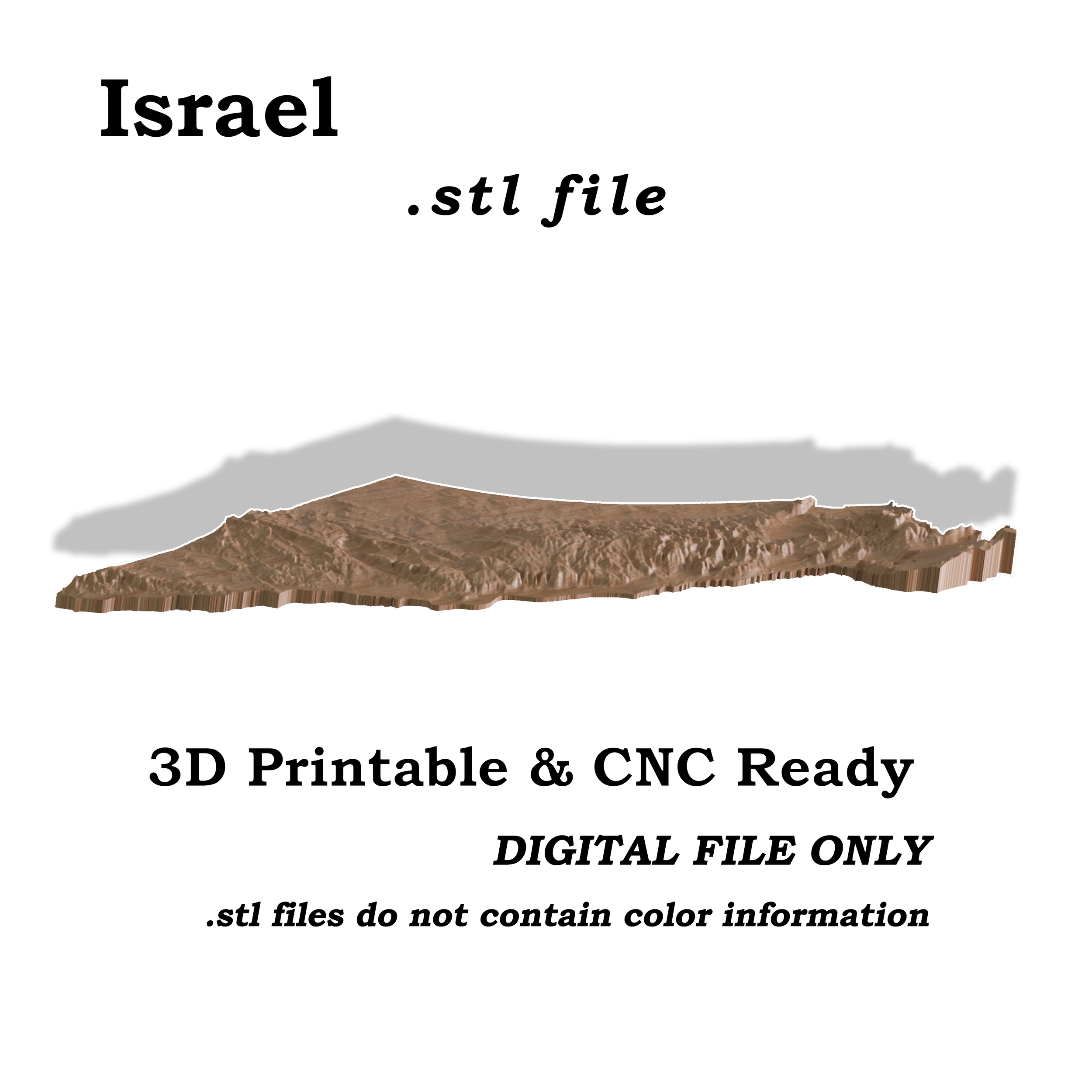
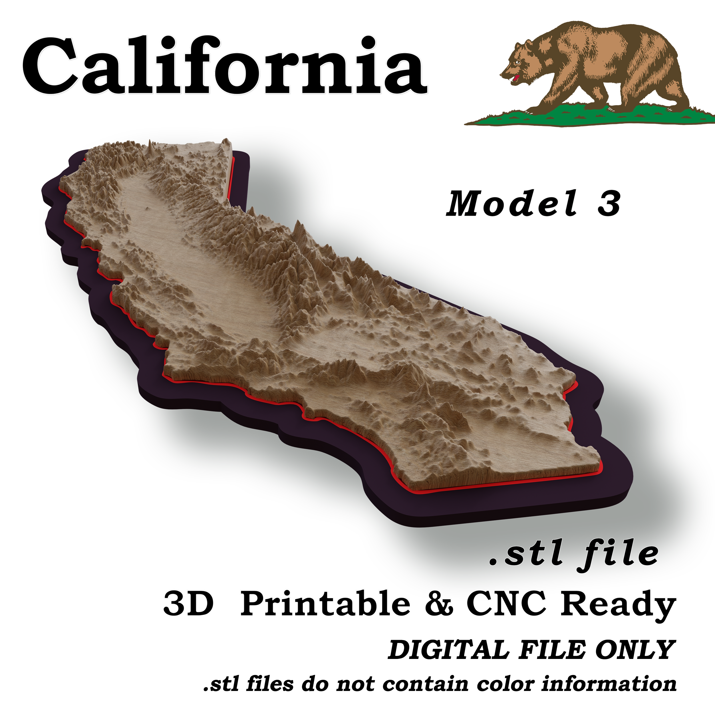
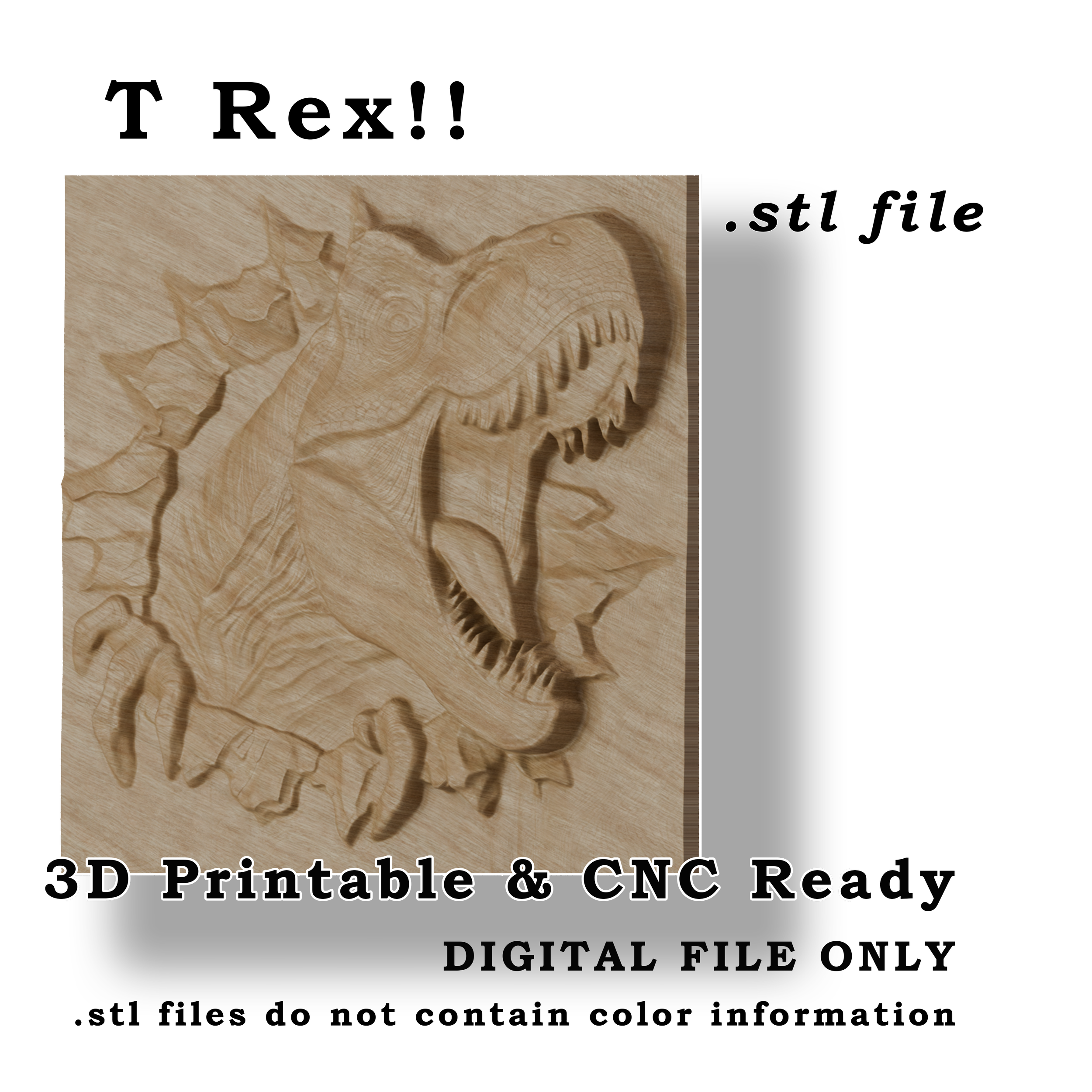
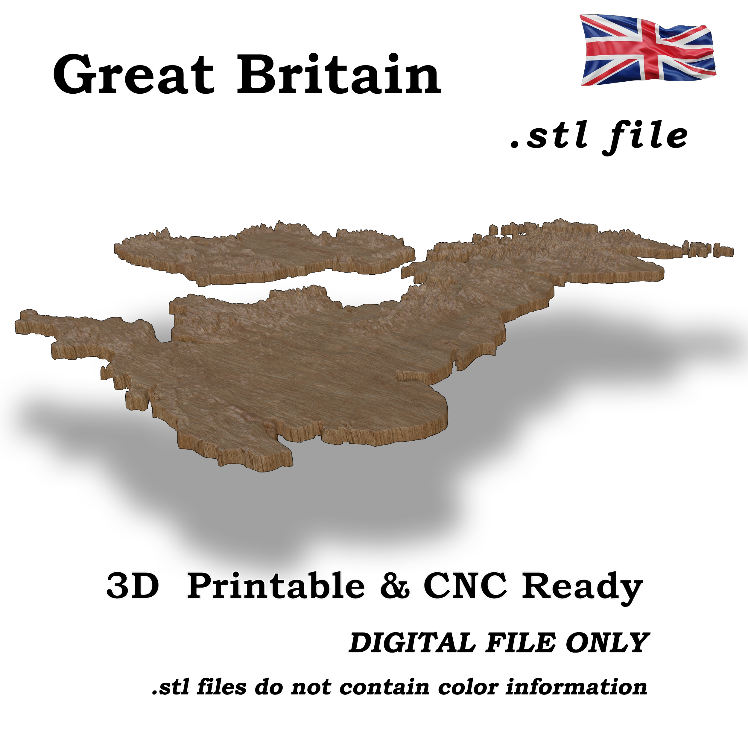
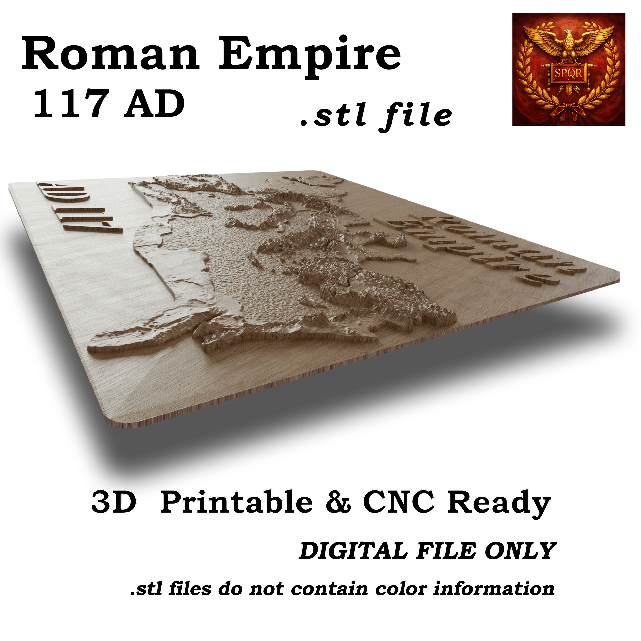 Image 4 of 5
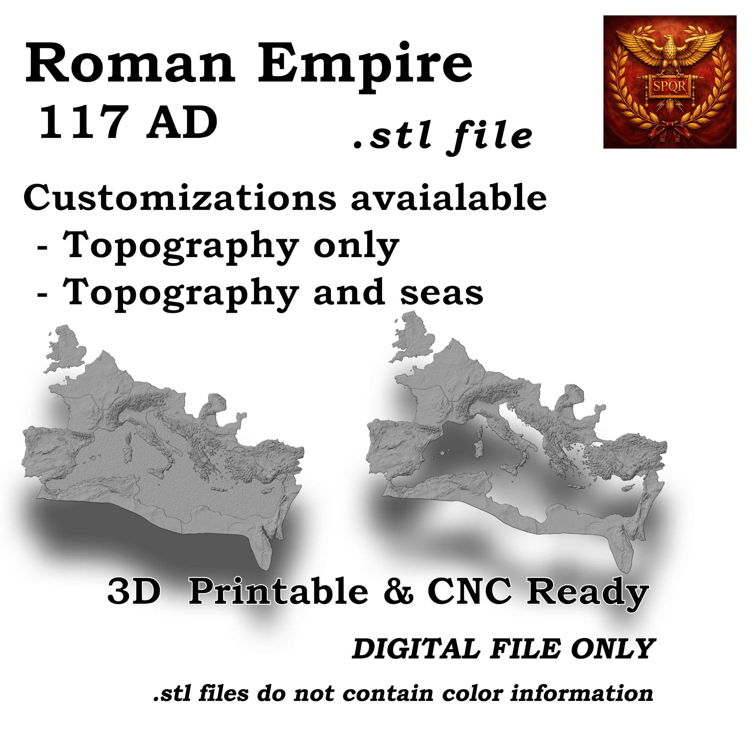 Image 5 of 5
Bring one of history’s greatest civilizations into the physical world with this highly detailed 3D relief map of the Roman Empire at its peak in AD 117.
This digital model transforms geography into a tactile experience - revealing the mountains, coastlines, and terrain that shaped Roman expansion. From the highlands of Britain to the deserts of North Africa and the eastern frontiers, every region has been carefully modeled to create a striking and accurate representation of the empire.
Whether you're 3D printing, CNC carving, or creating custom displays, this file is designed to produce a clean, professional result with strong visual impact.
3D printing display pieces
CNC carved wall art or plaques
Educational models and classrooms
Gifts for history enthusiasts
Custom resin, wood, or cast projects
High-resolution 3D model file
Optimized for both 3D printing and CNC workflows
Clean geometry for reliable slicing and toolpaths
True 3D terrain, not a flat map
Balanced detail for printability and machining
Designed to highlight the natural geography of the empire
Create something tangible from history—whether it’s a refined desk piece, a large CNC wall carving, or a custom product for your own customers.