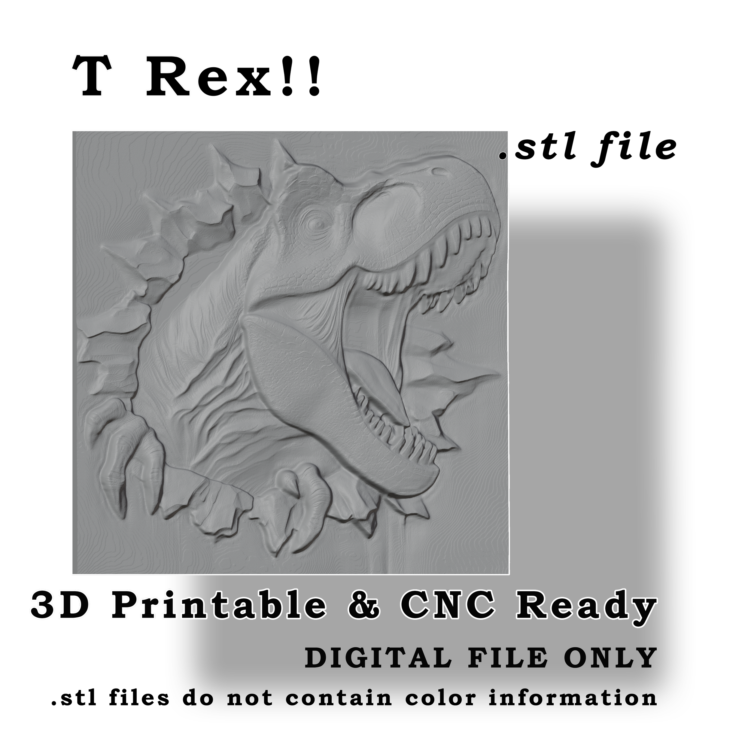
 Image 1 of 4
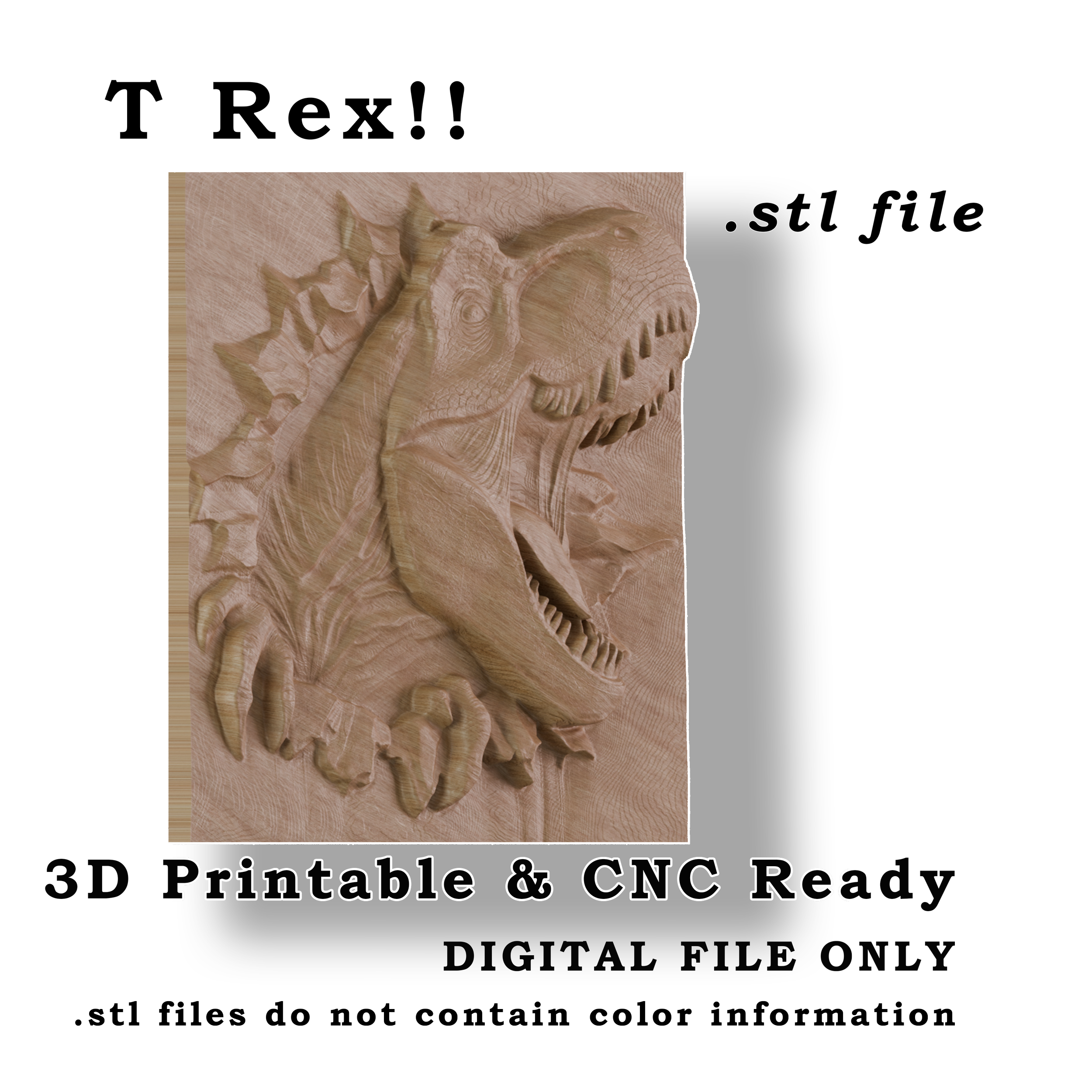
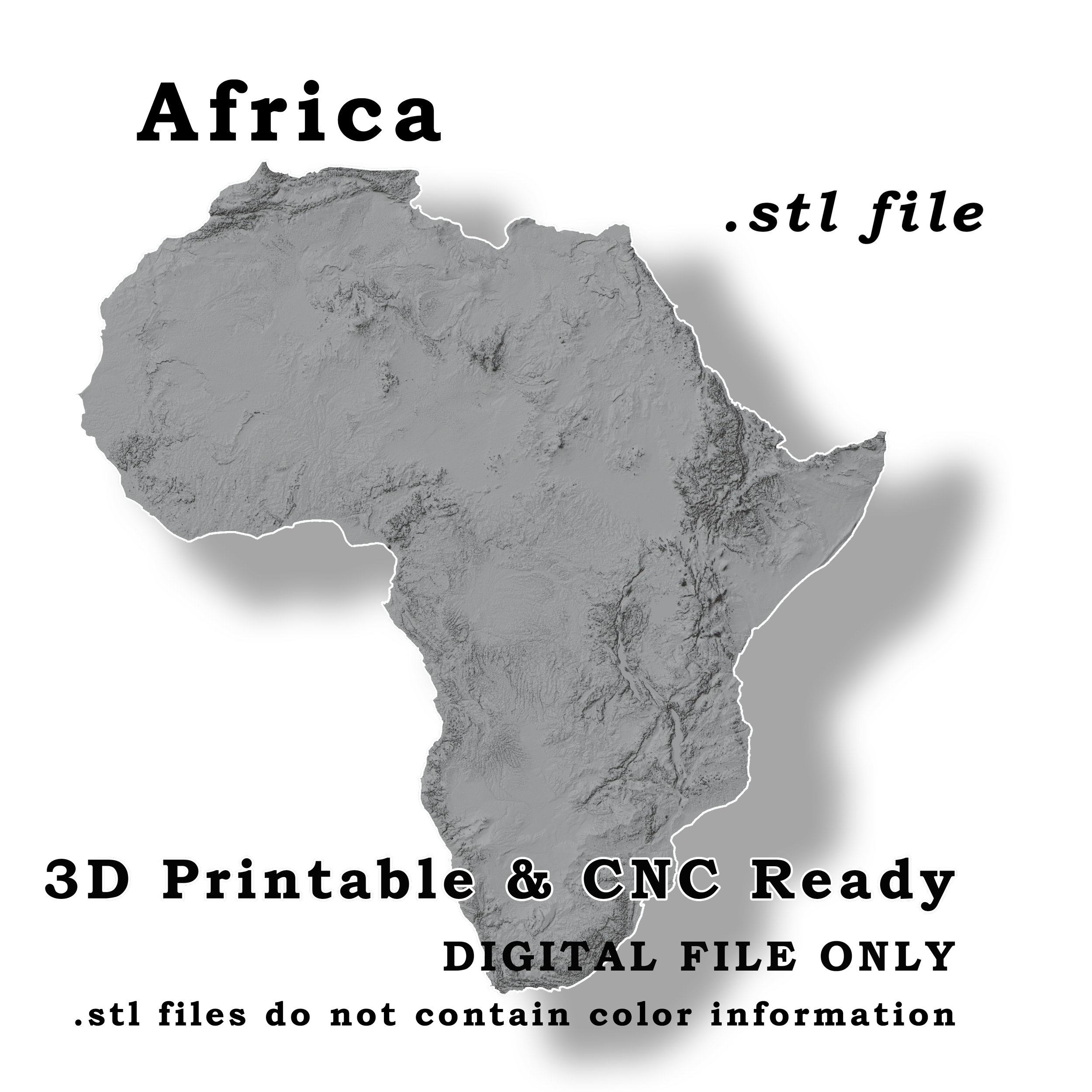
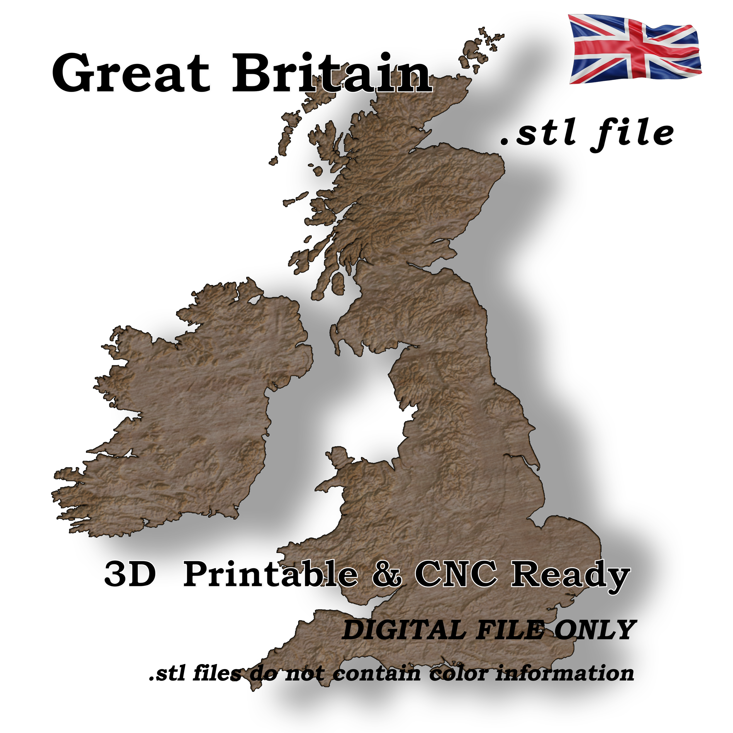 Image 2 of 4
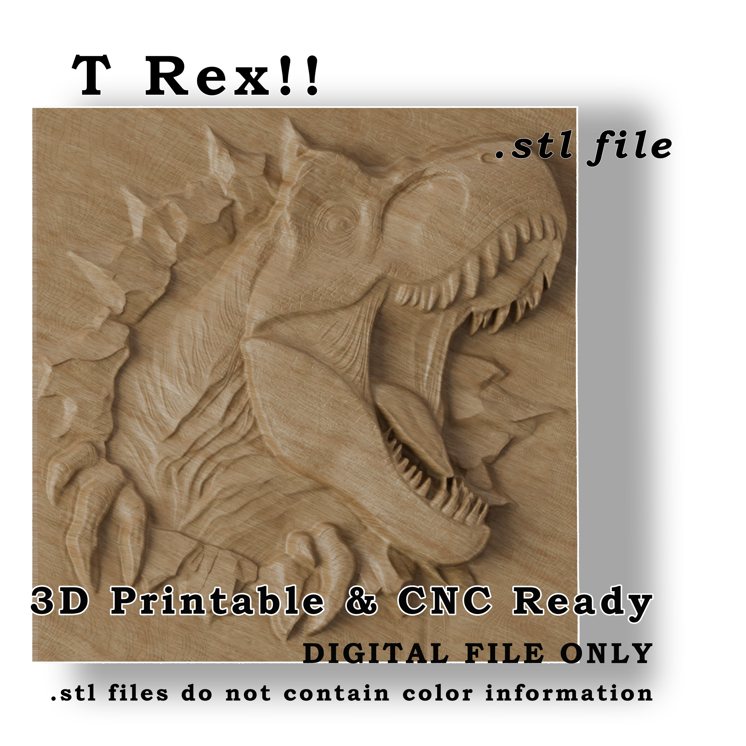
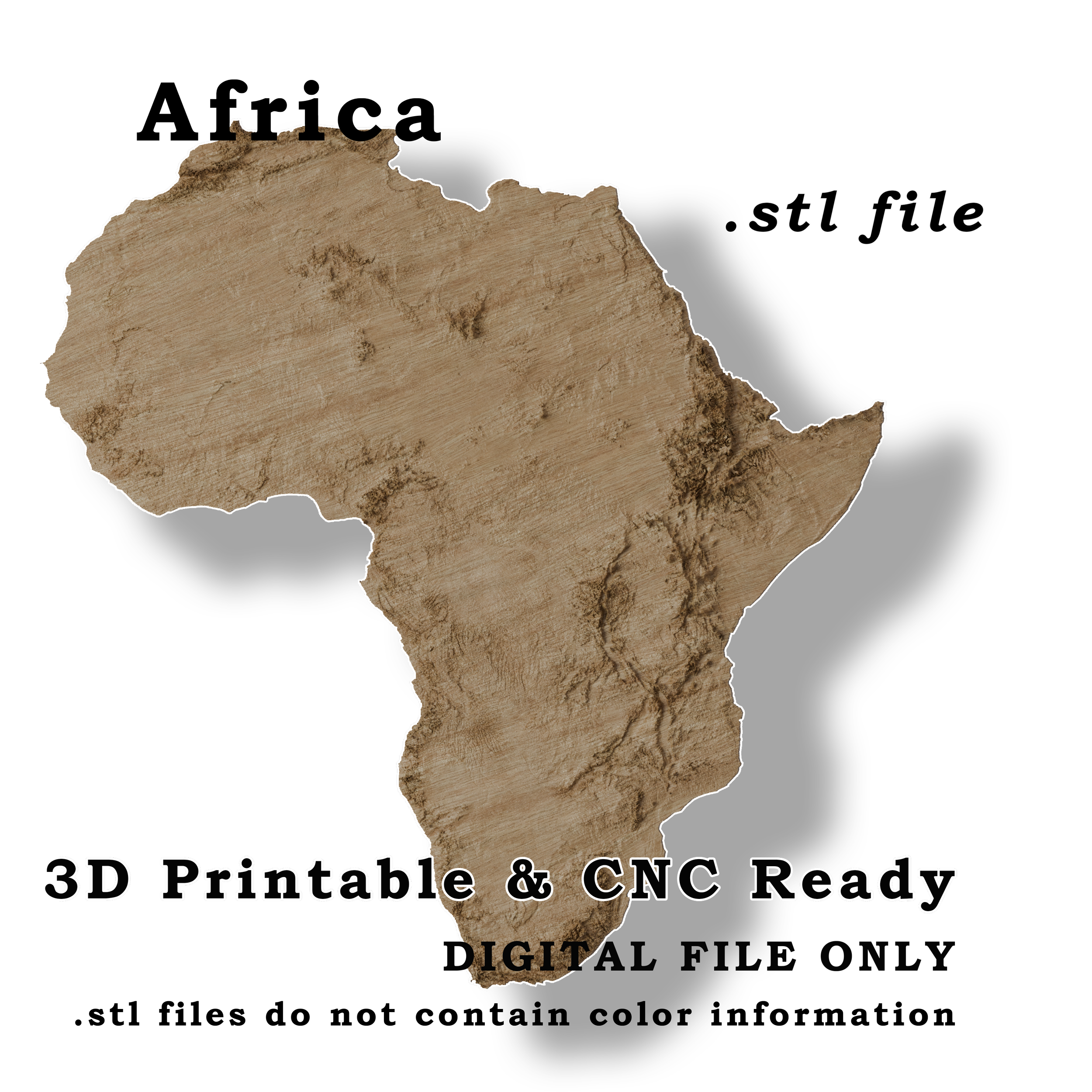
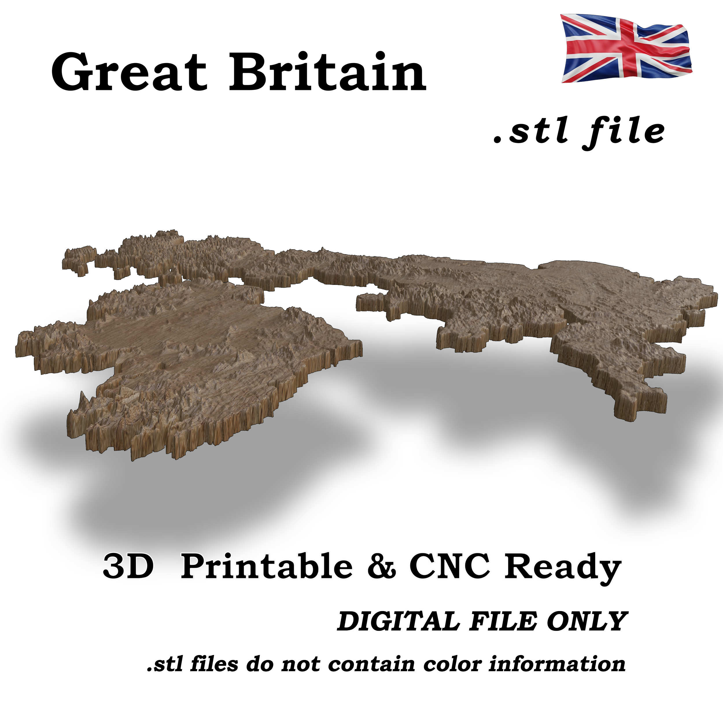 Image 3 of 4
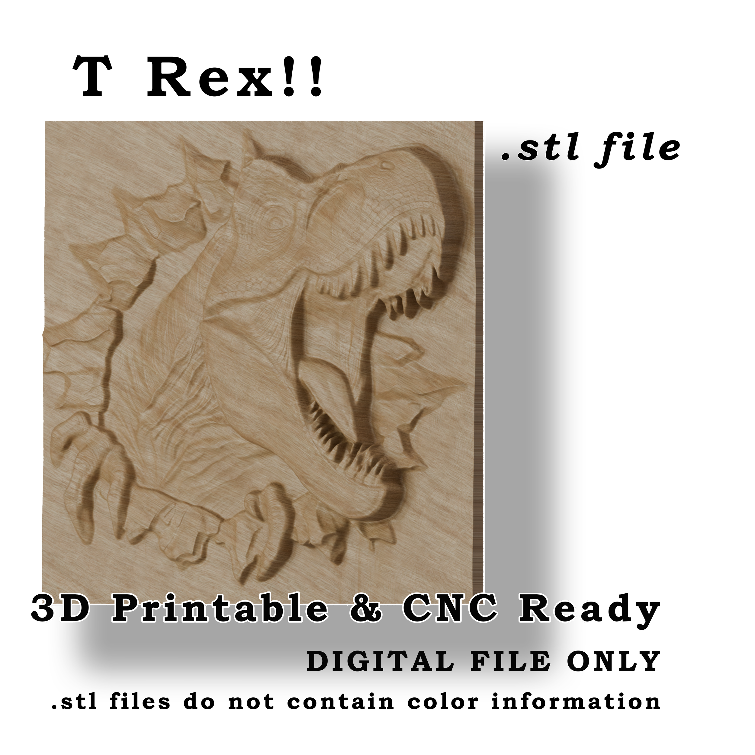
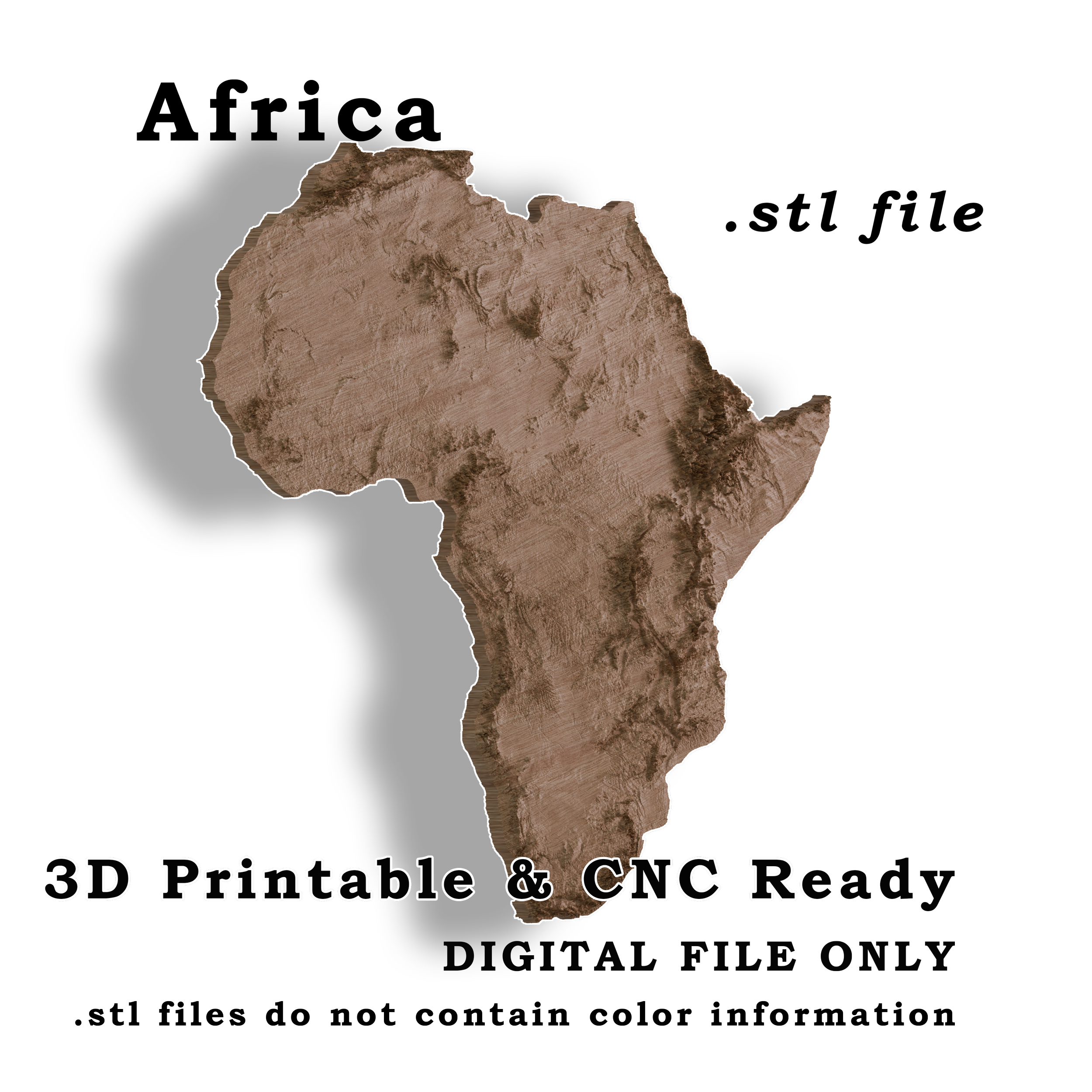
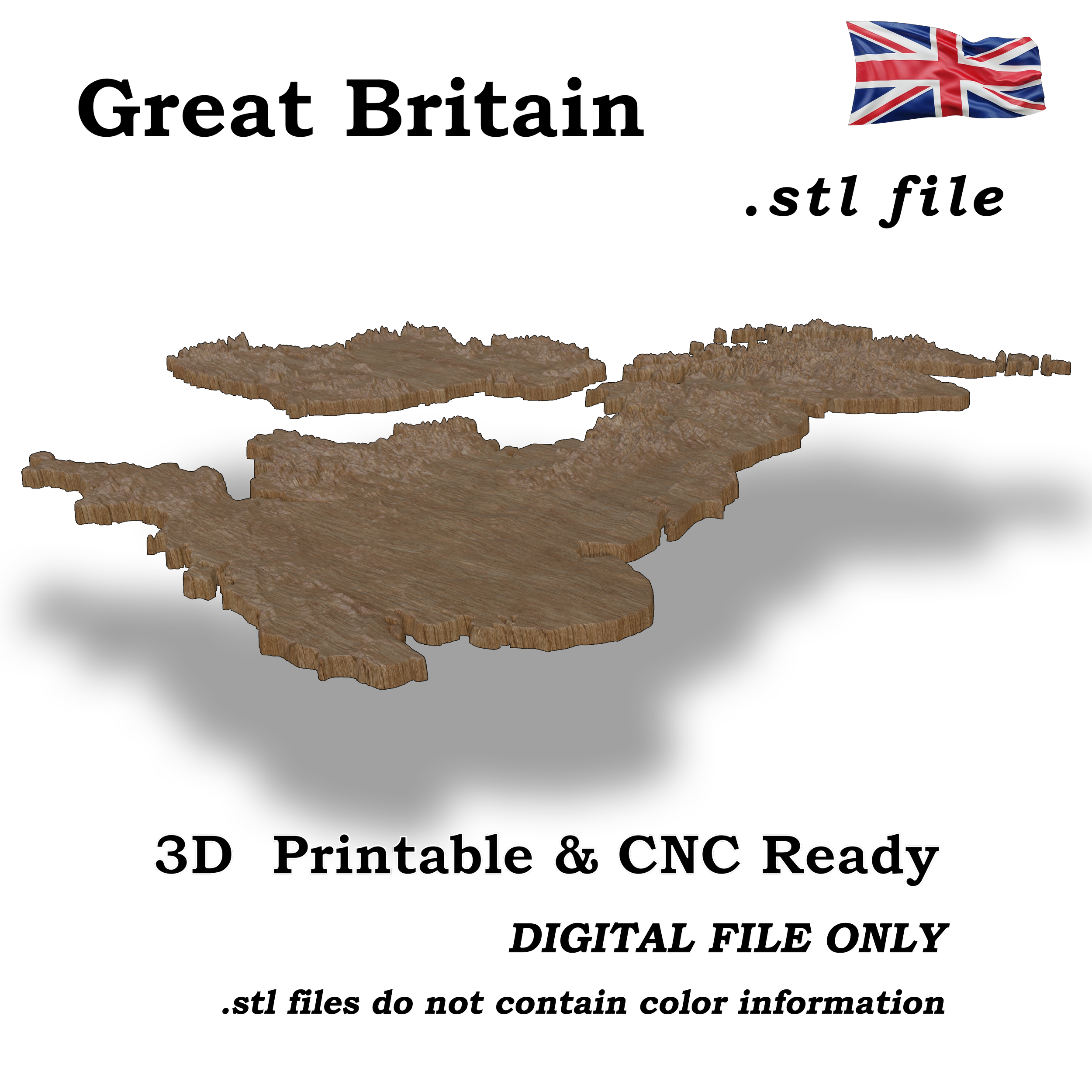 Image 4 of 4
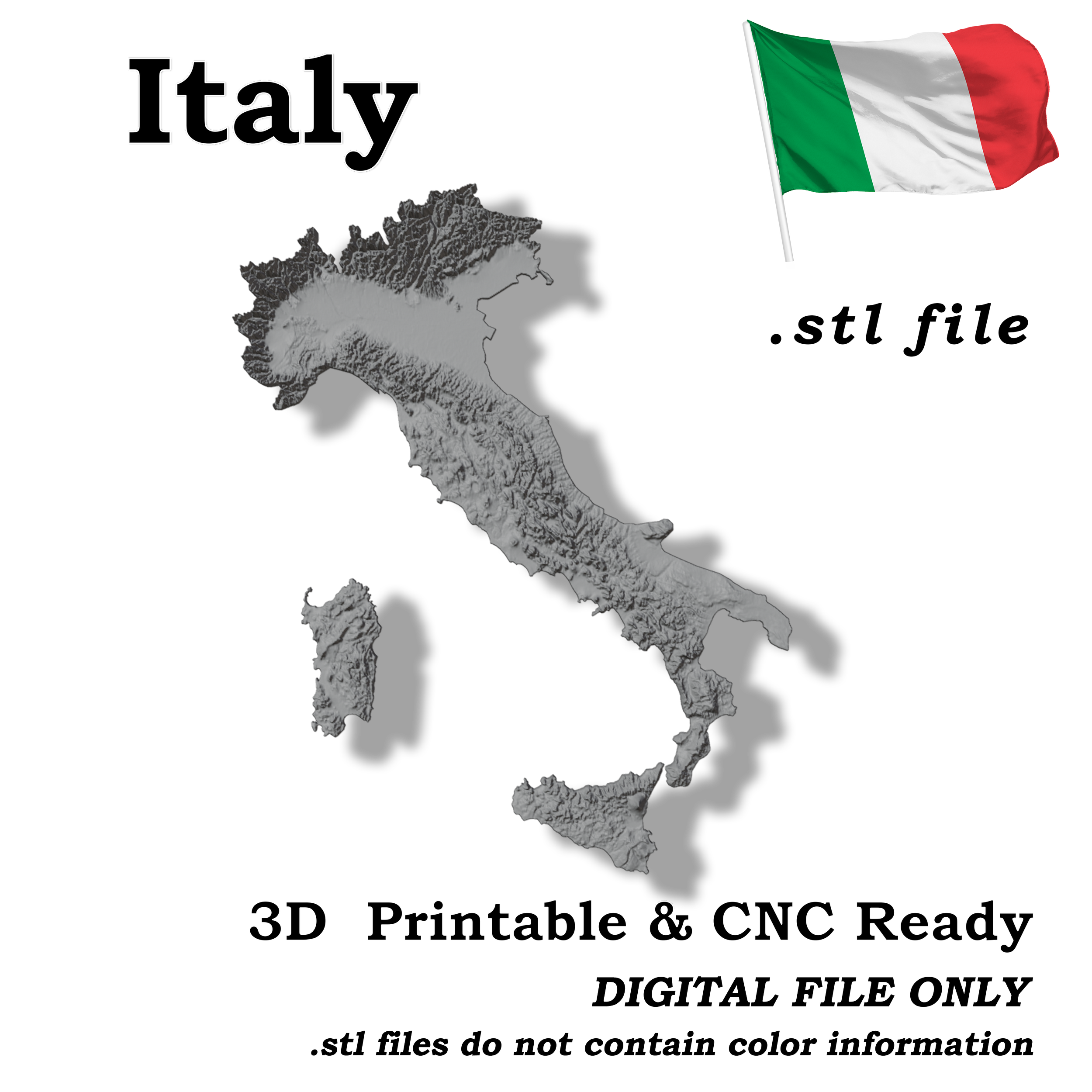
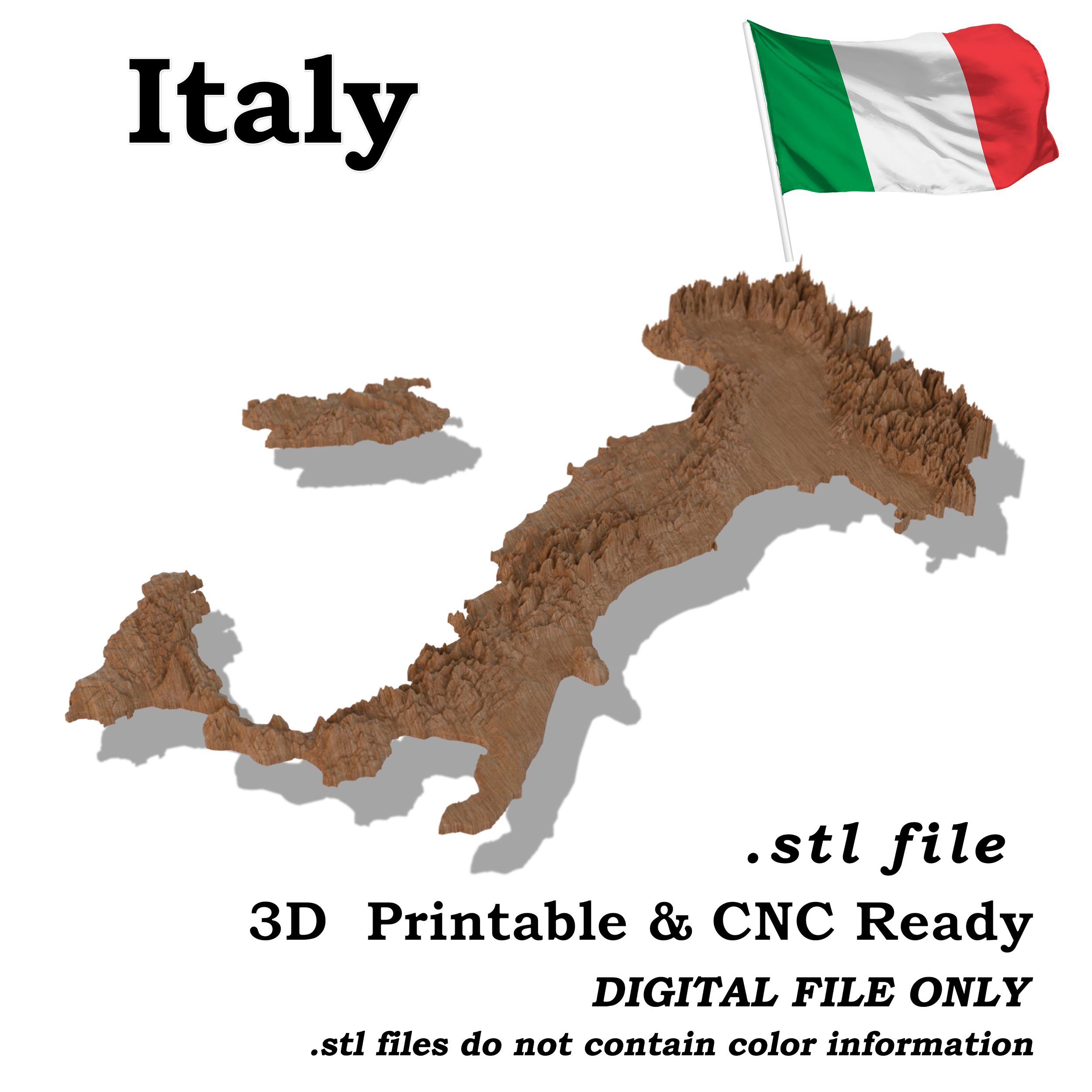
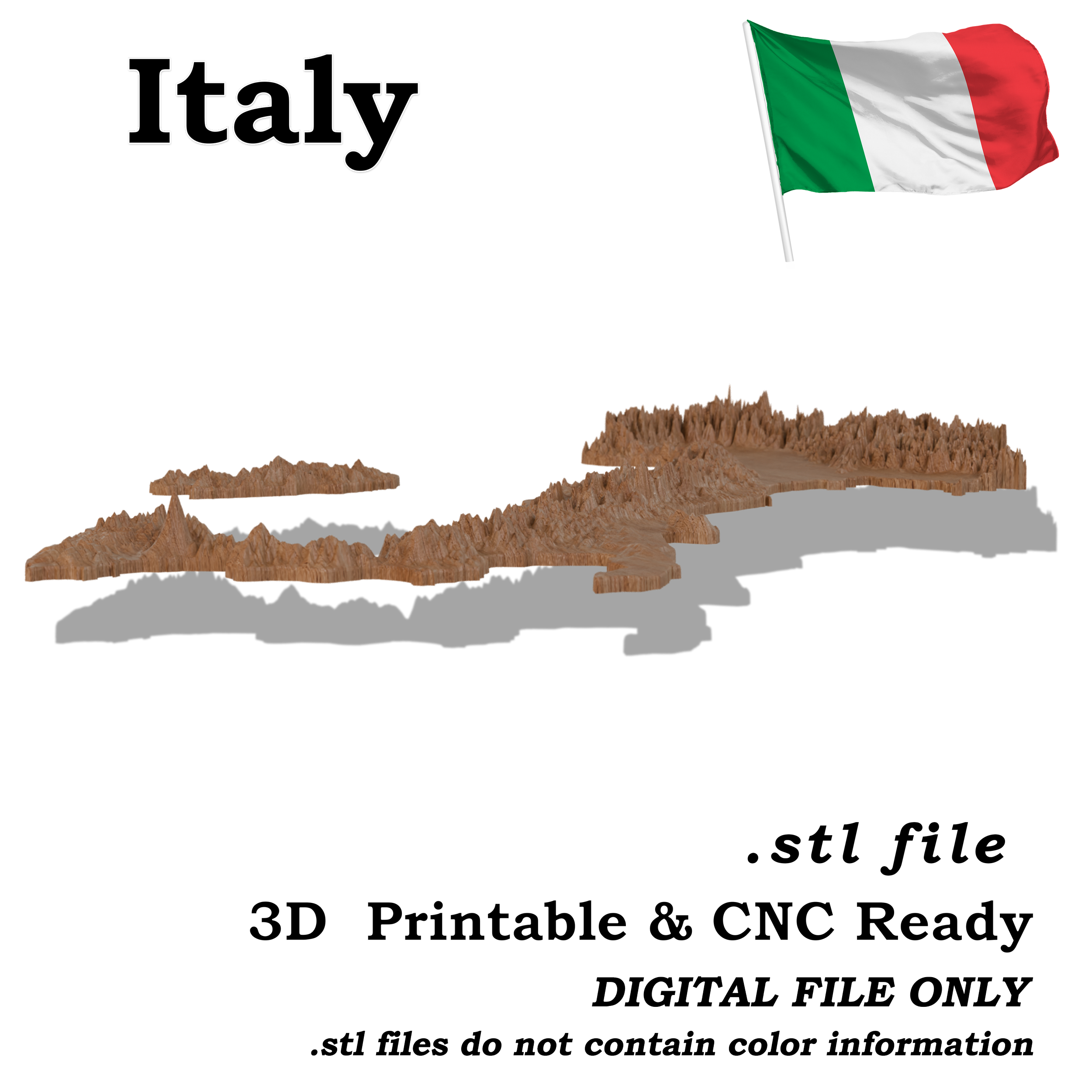
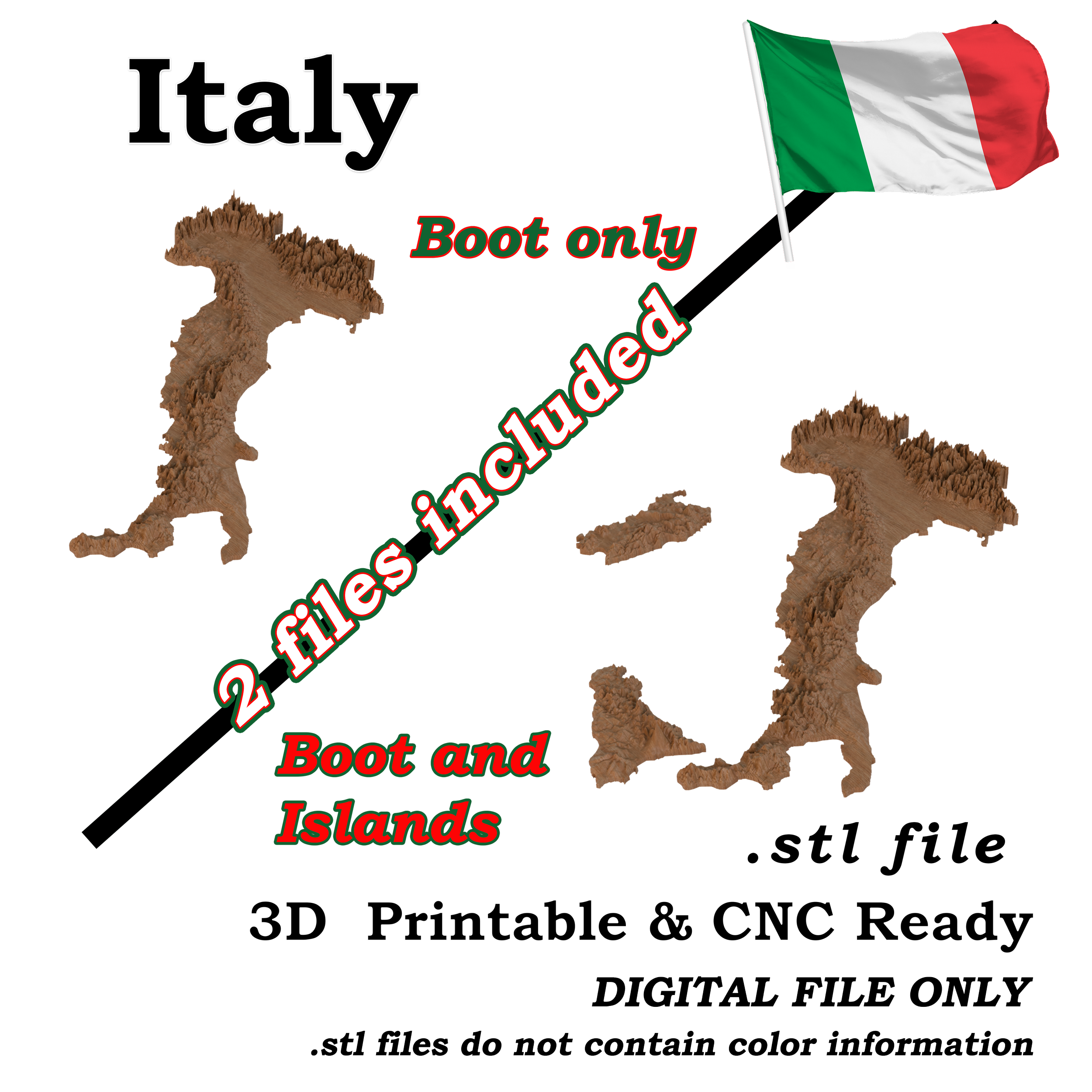
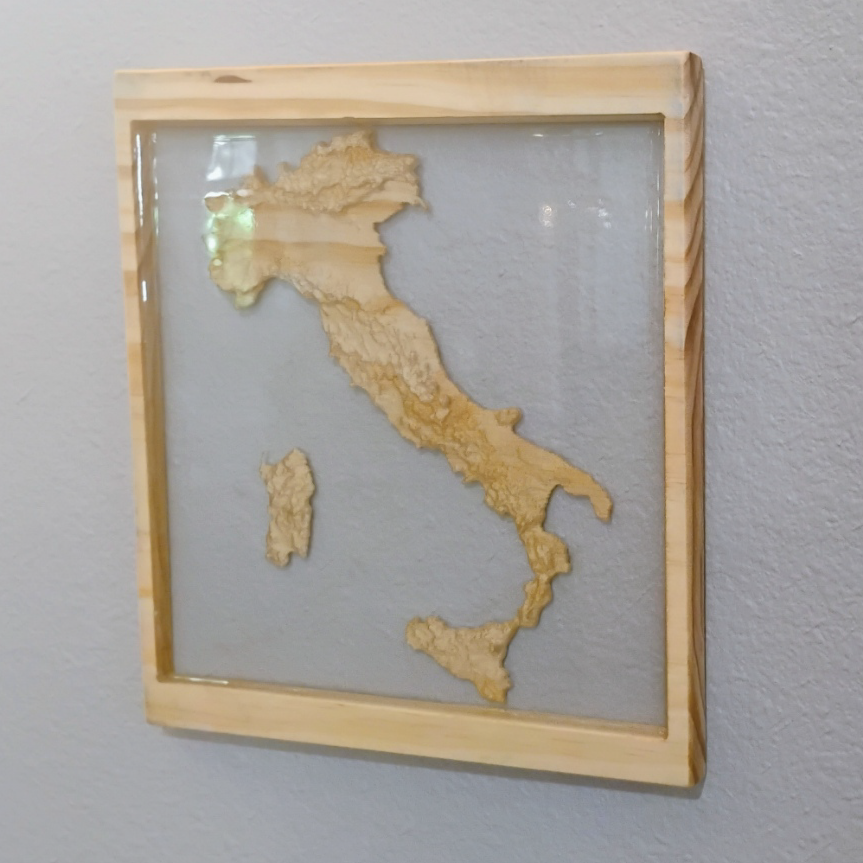
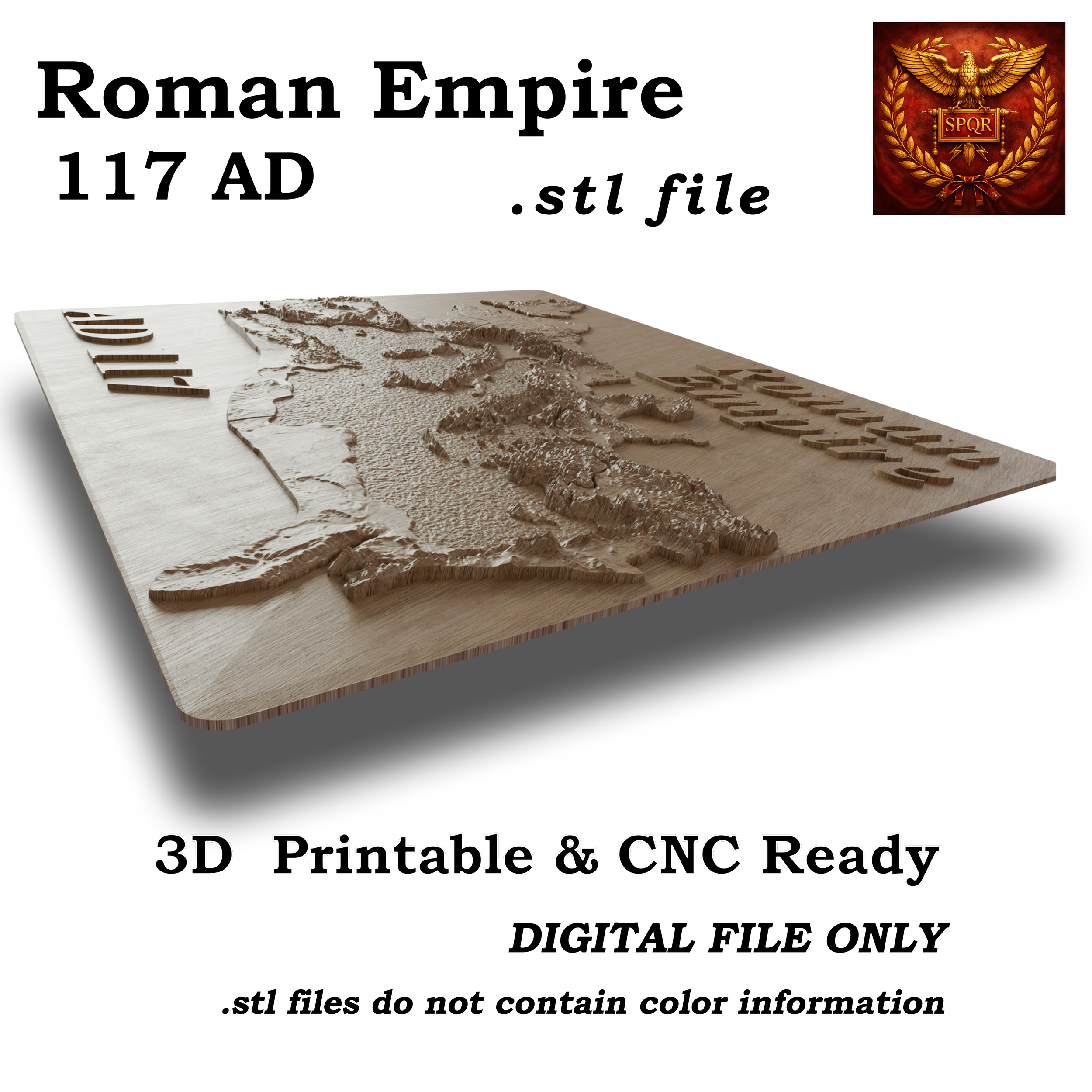
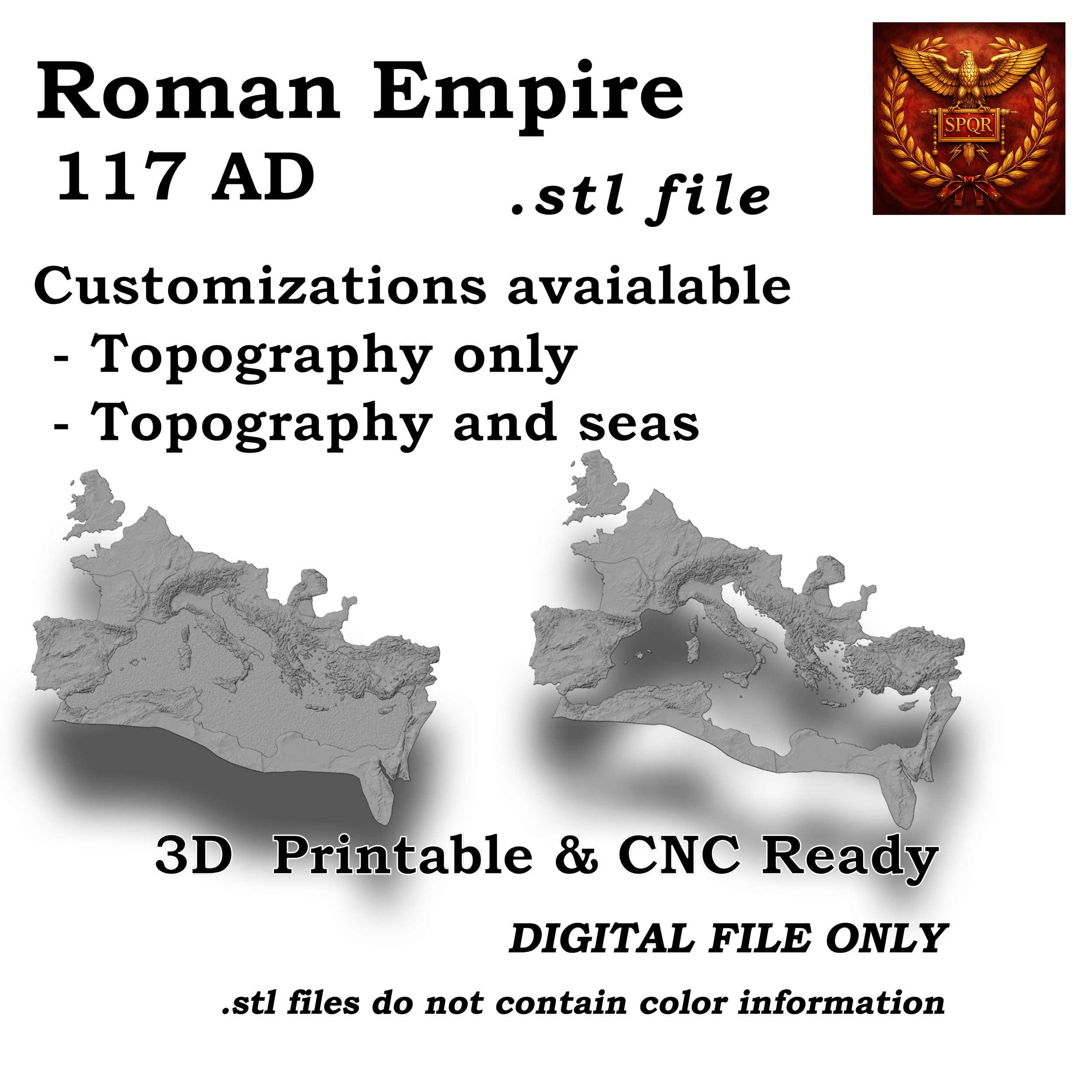
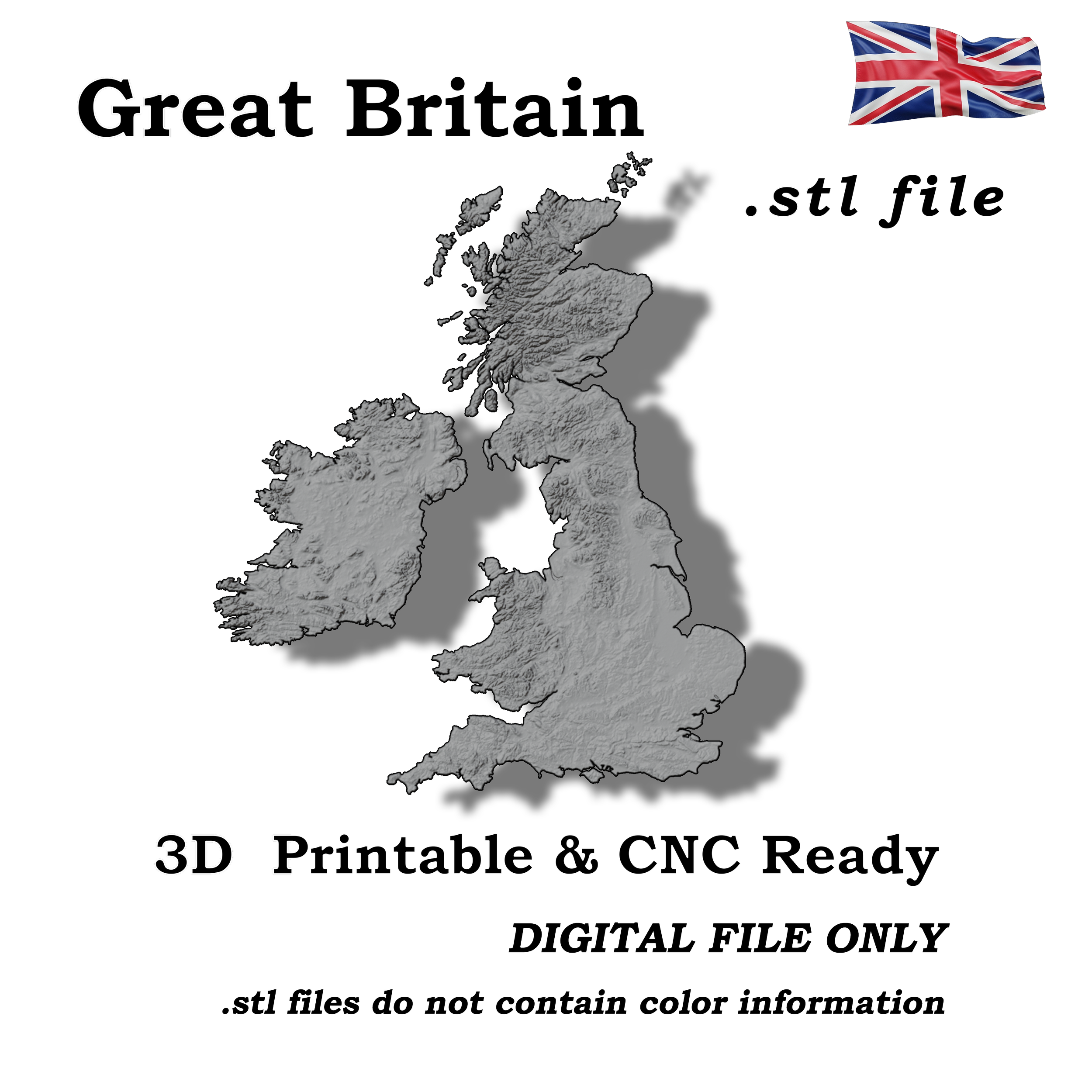
This 3D digital model represents the full topographic landscape of Great Britain and Ireland with high-resolution surface detail derived from real elevation data. The model accurately captures the geological character of the region—including rugged Scottish highlands, rolling hills of England and Wales, and the varied terrain of Ireland—making it suitable for CNC carving, 3D printing, visualization, or educational and artistic applications.
Highlights:
Accurate 3D digital model of the United States terrain
Includes mountains, valleys, and elevation details across all regions
Suitable for CNC carving, 3D printing, or educational use
Great for classrooms, hobby projects, and collectors of unique maps
Notes:
Digital download only. No physical item will be shipped.